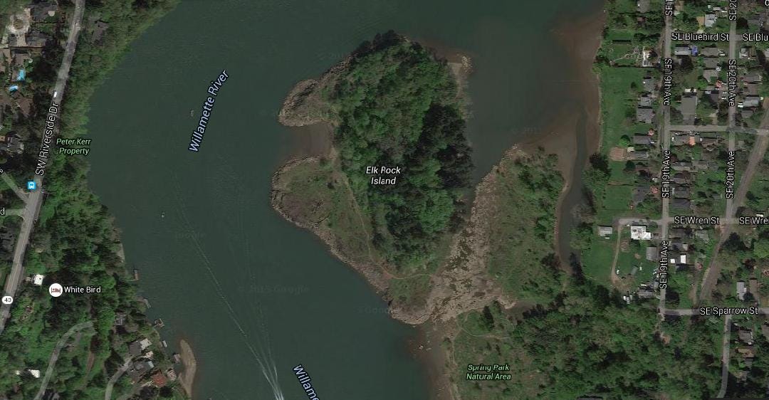
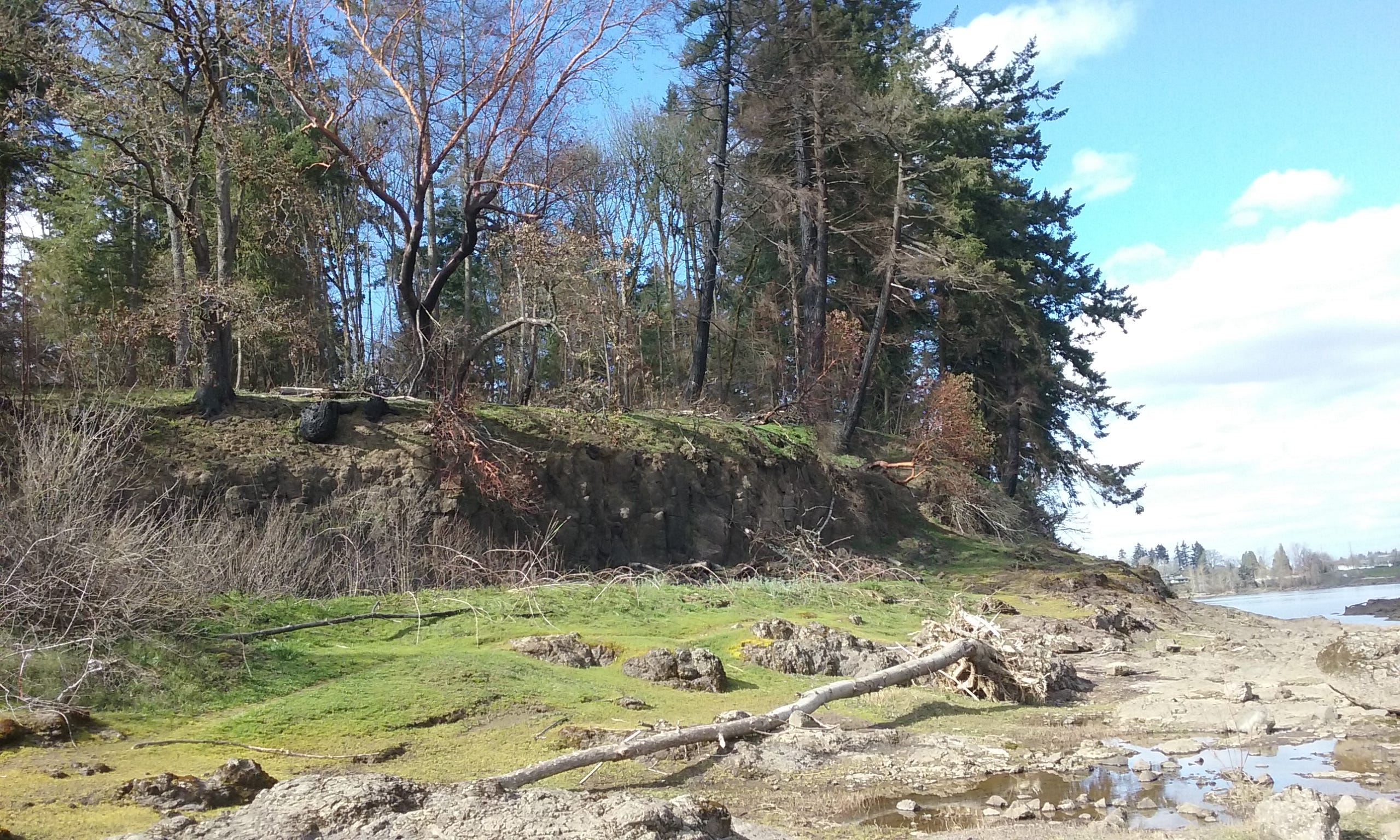
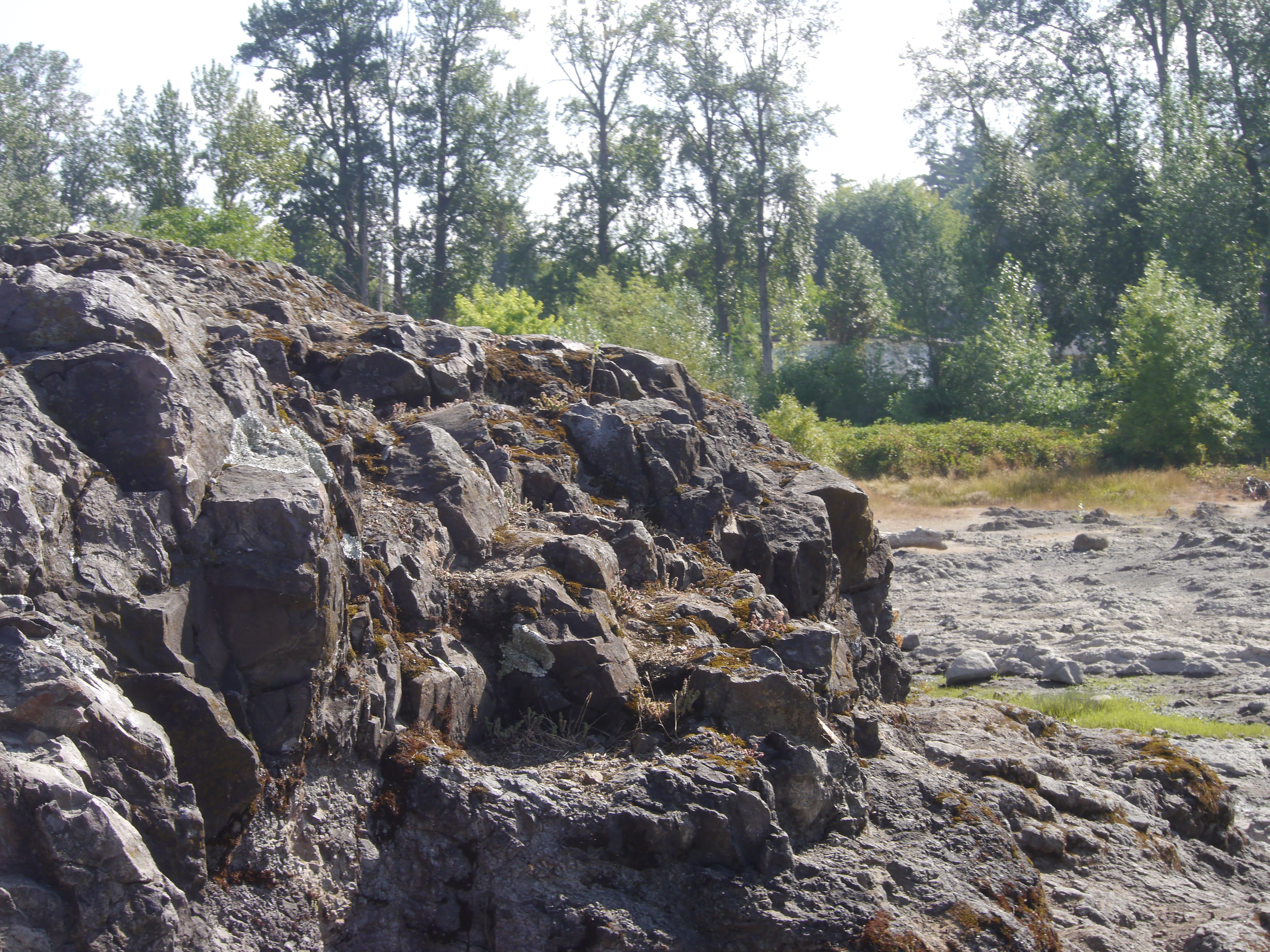
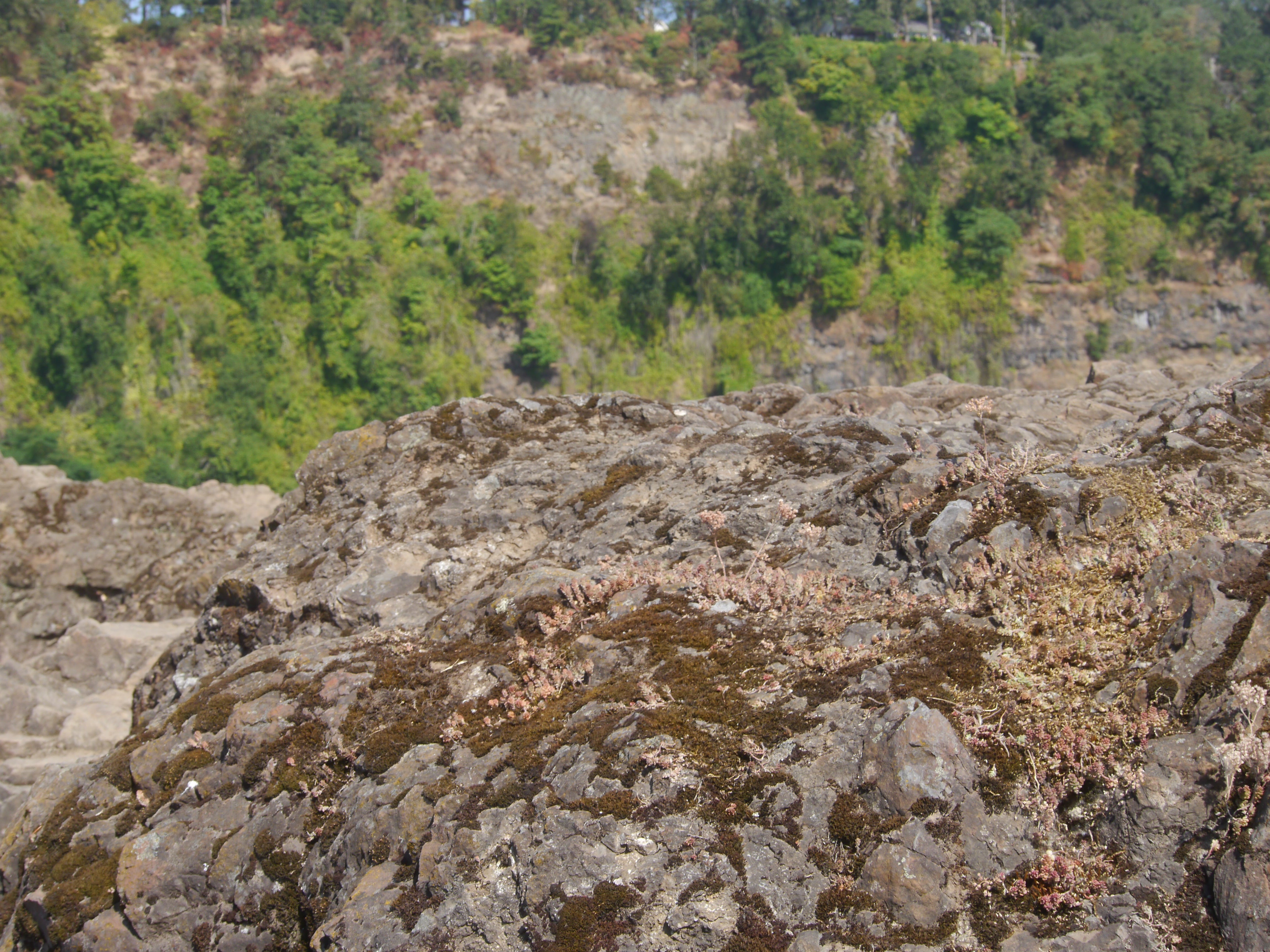
The island represents part of an ancient volcano that erupted about 40 million years ago in the Pacific Ocean. It, along with all land west of Idaho, later accreted to the North American tectonic plate. The lava flows formed the predominant bedrock called Waverly Heights Basalt. The basalt may be the oldest exposed rock in the Portland area. The name is derived from the belief that indigenous people herded elk off the steep cliff on the river’s west side, to harvest them in the river below.
Google map of ERI.
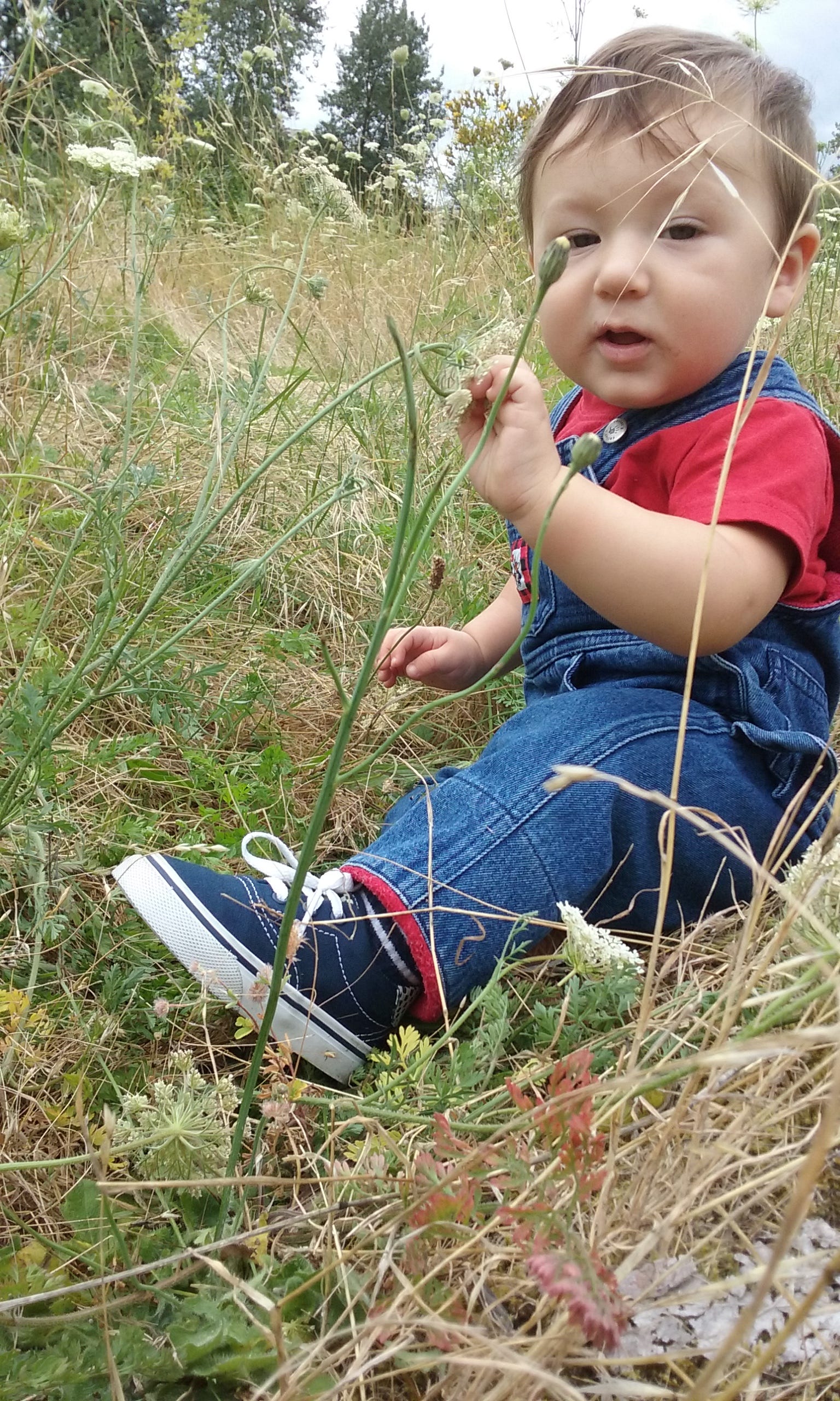
Baby Fox picking blackberries
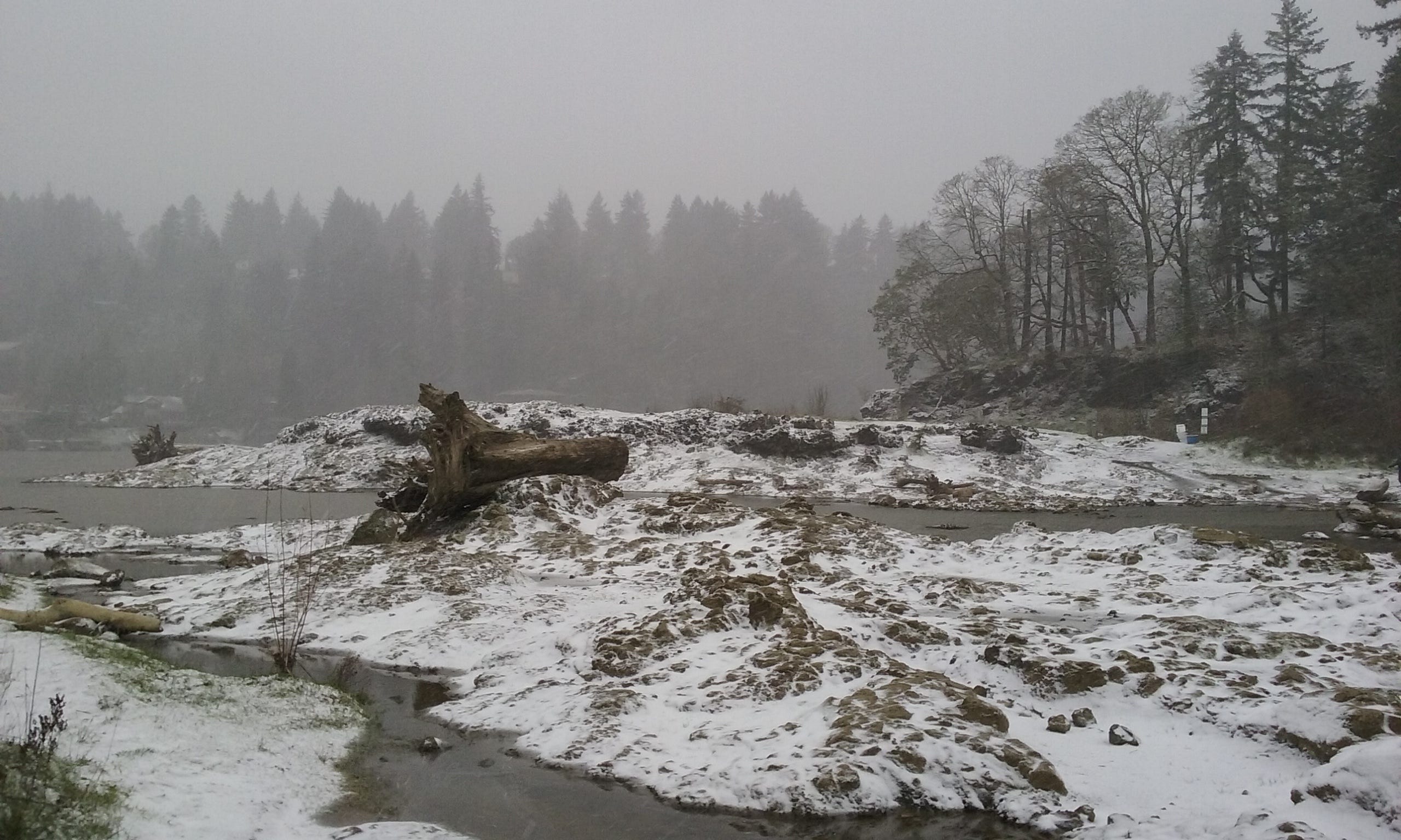
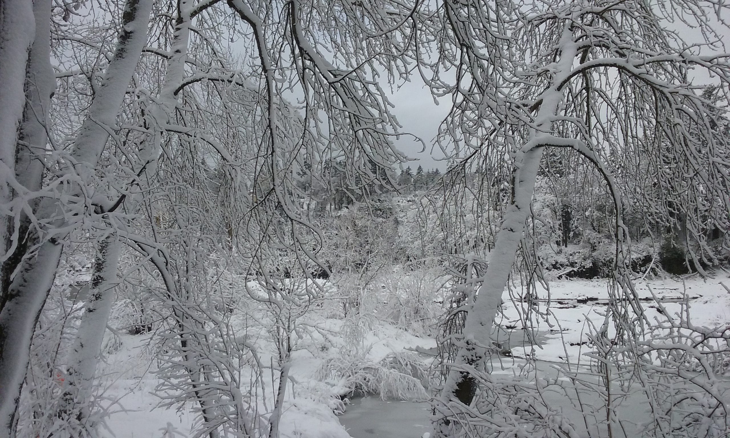
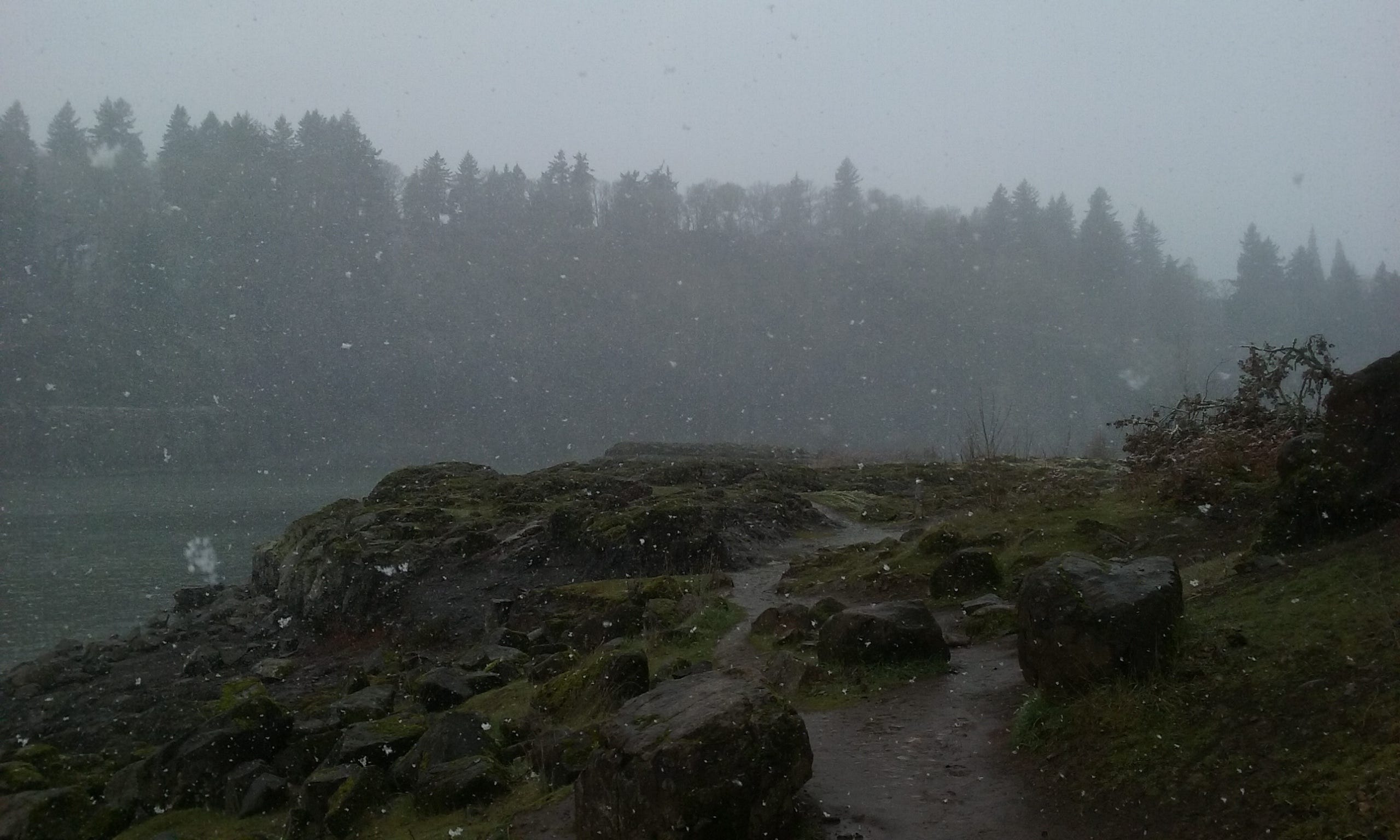
Snowing on the southeast corner of ERI
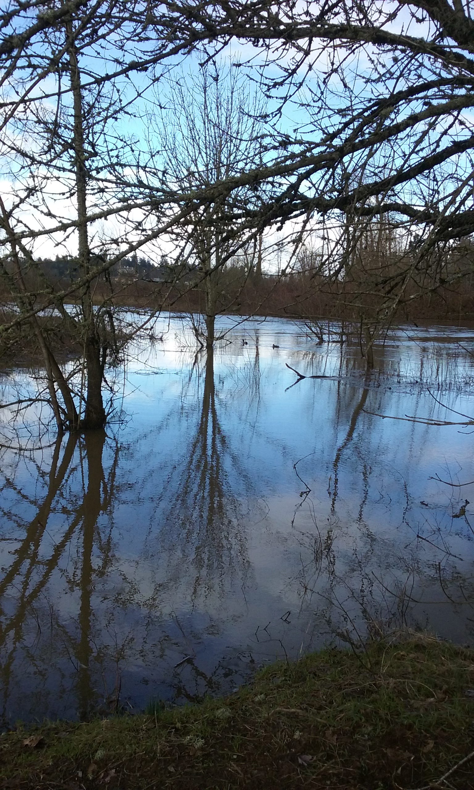
The east side of ERI in high water.
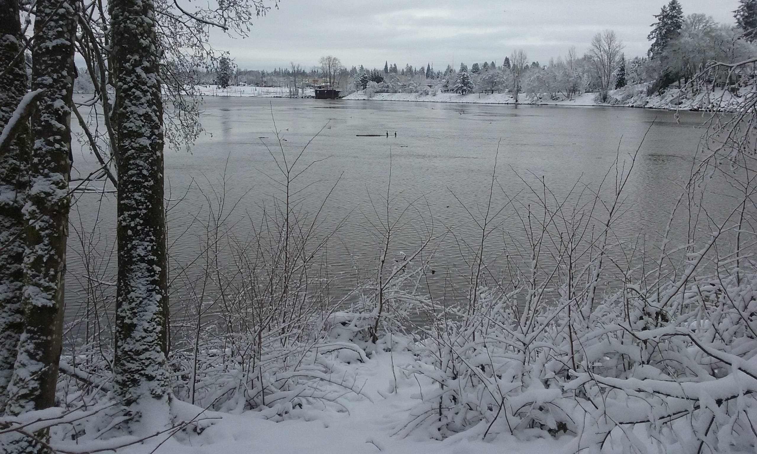
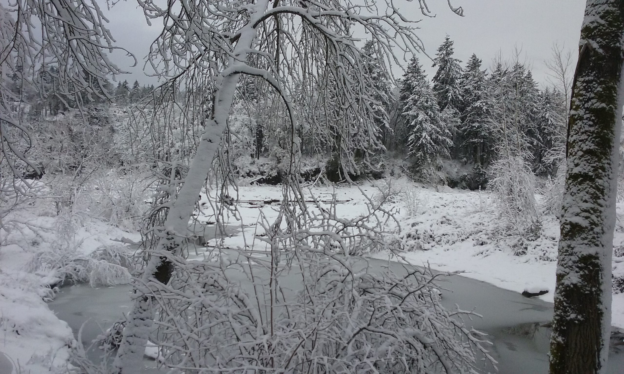
Snow on the northeast corner of ERI
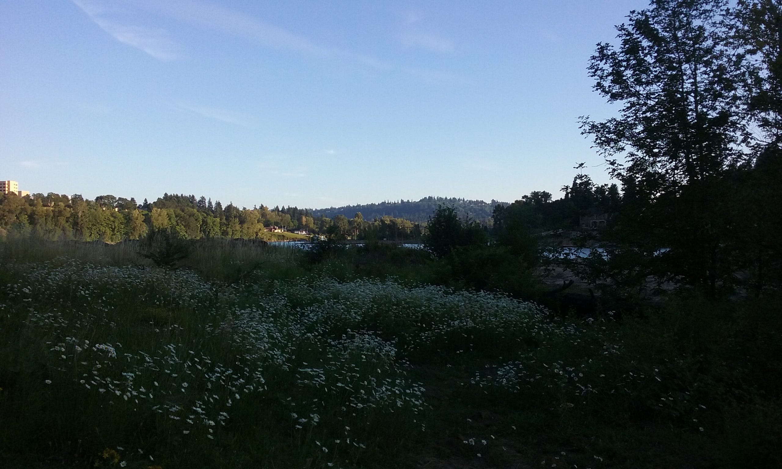
Looking south in spring.
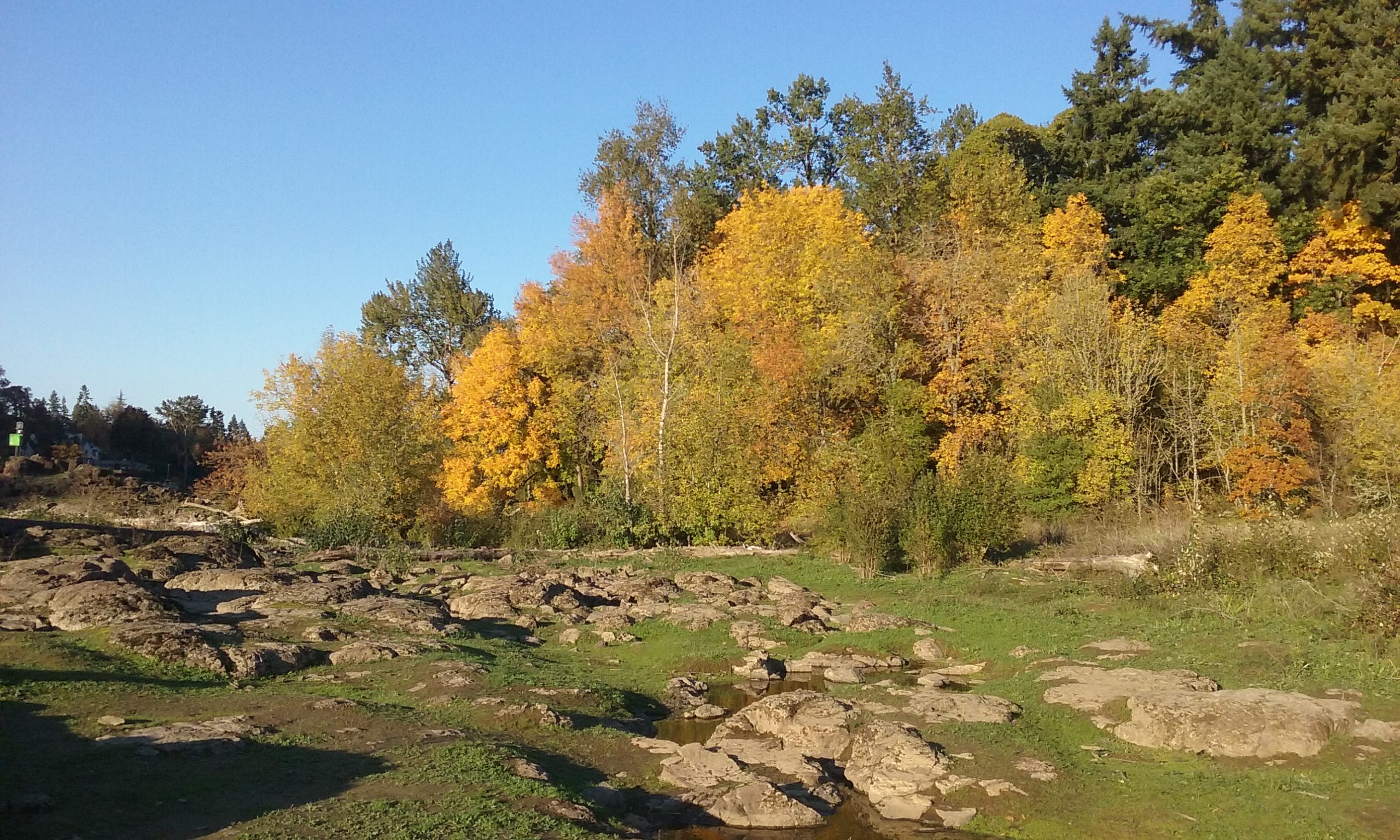
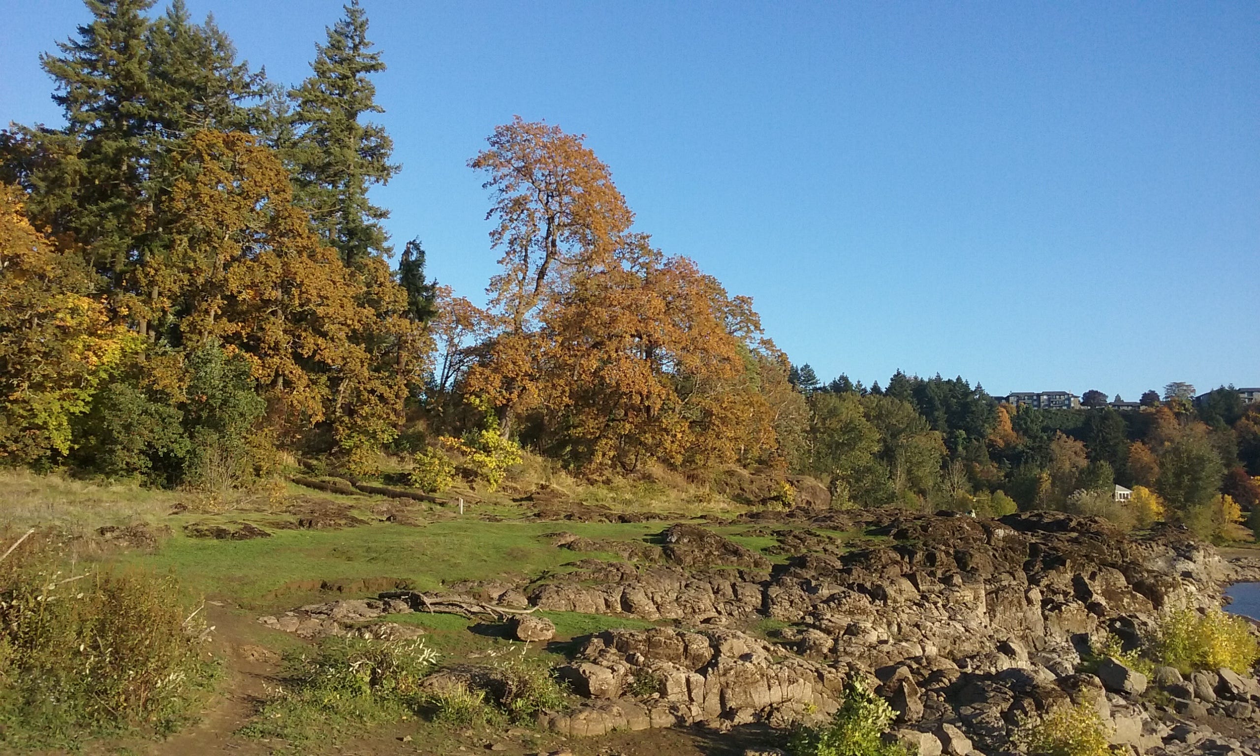
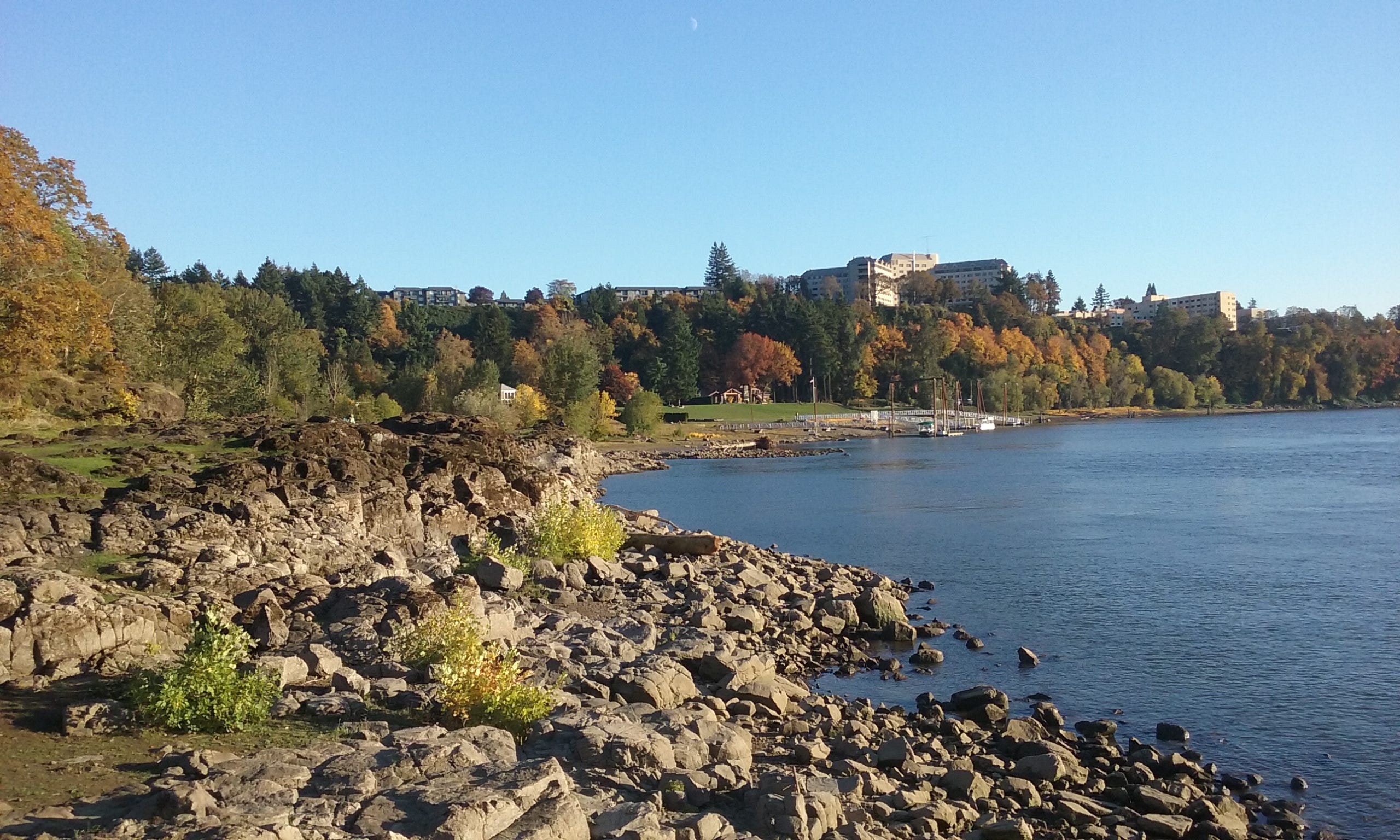
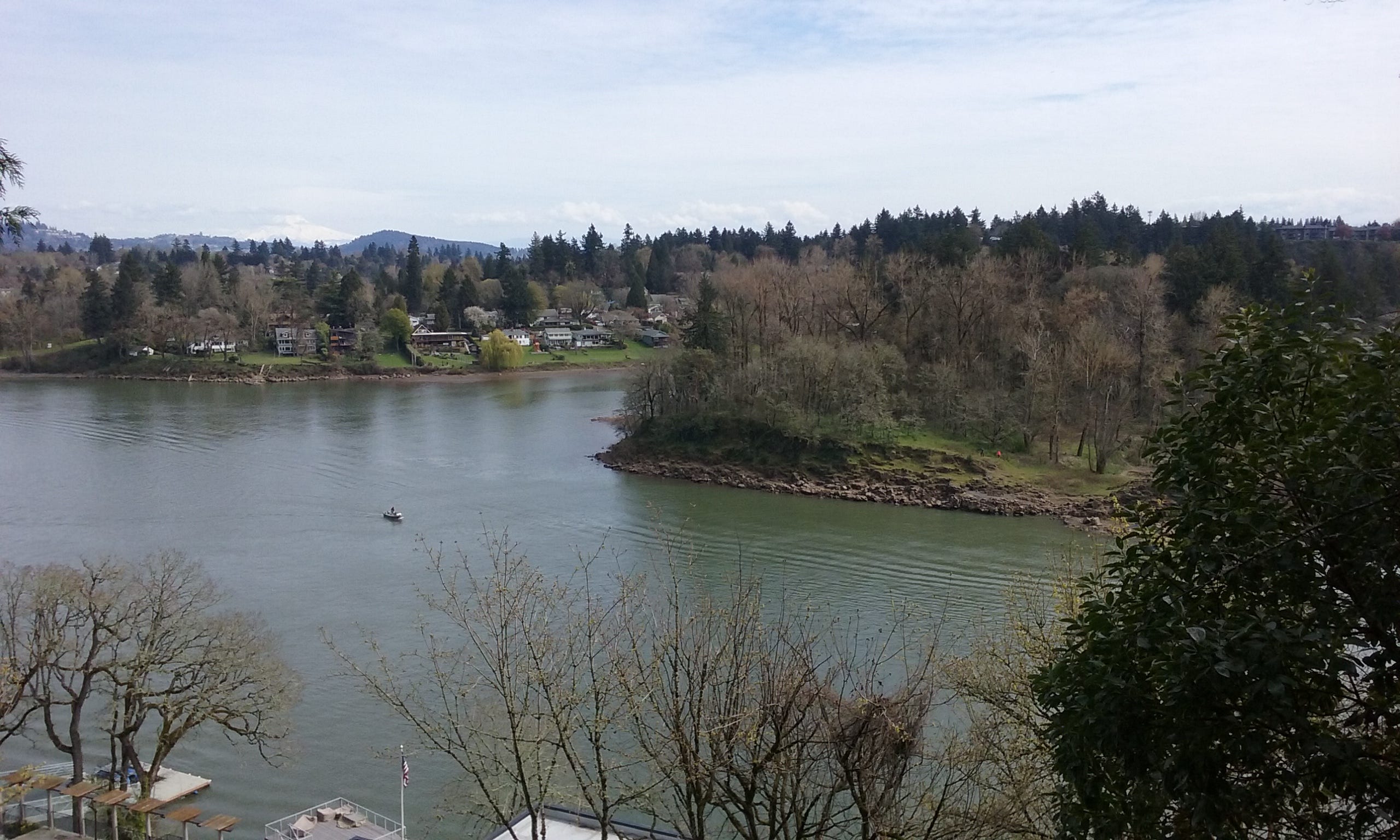
Looking north in fall.
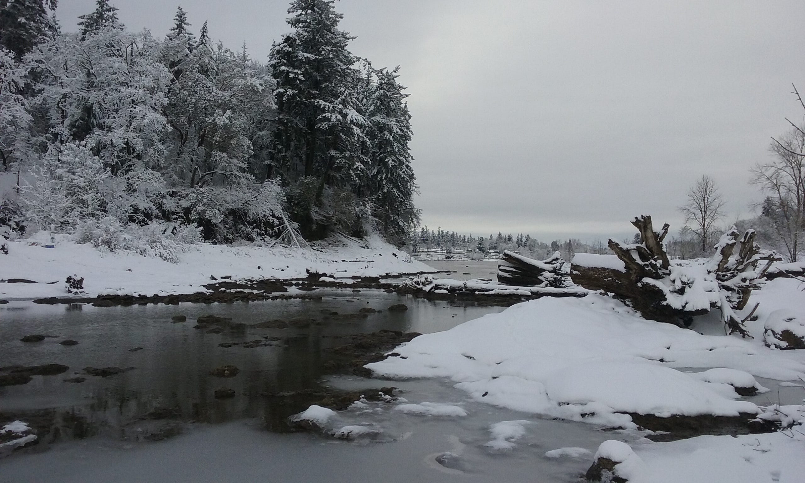
Snow on the east side of ERI.
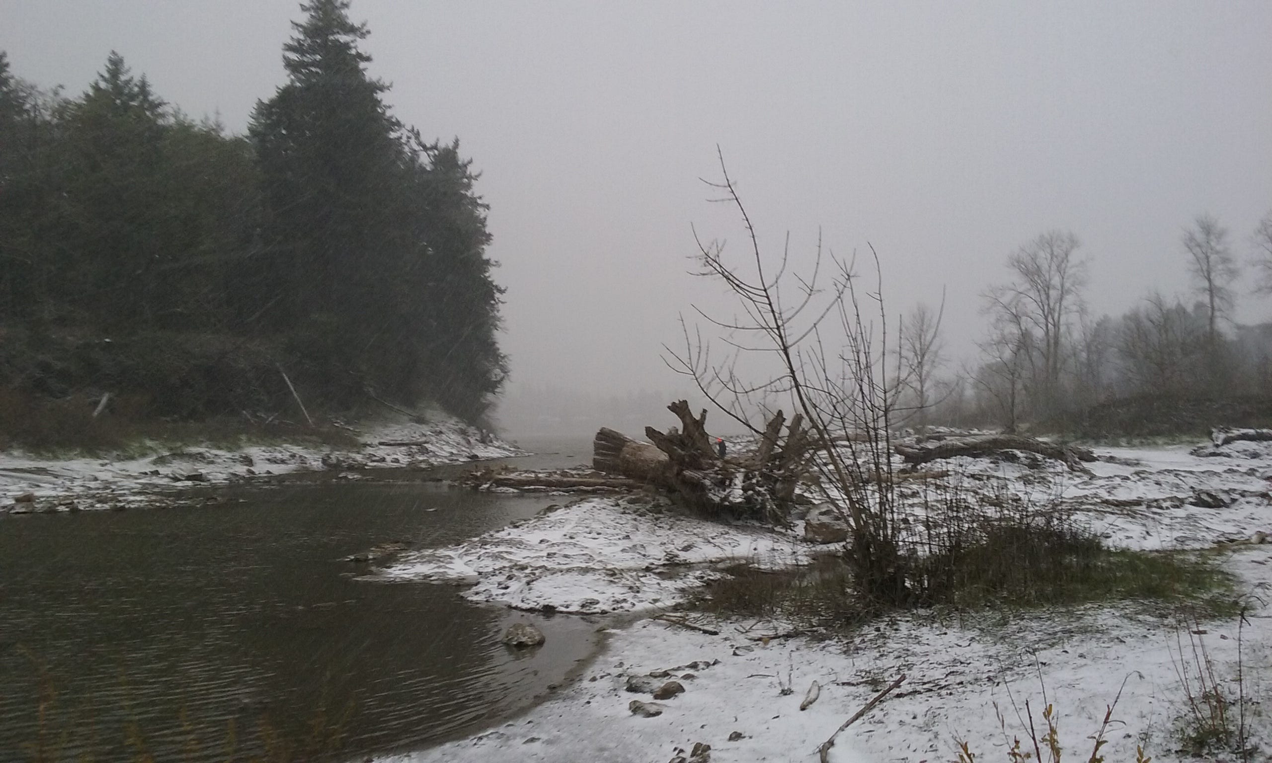
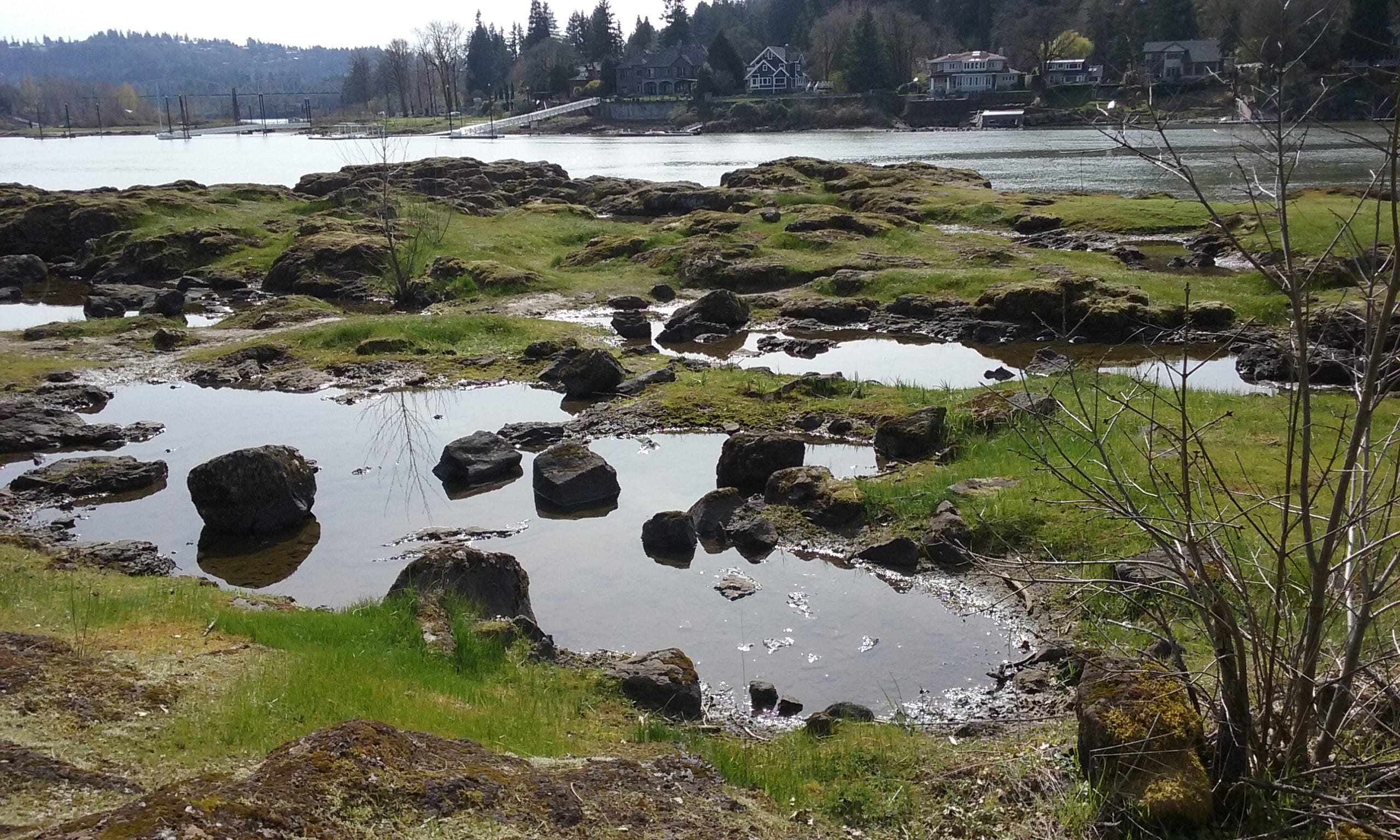
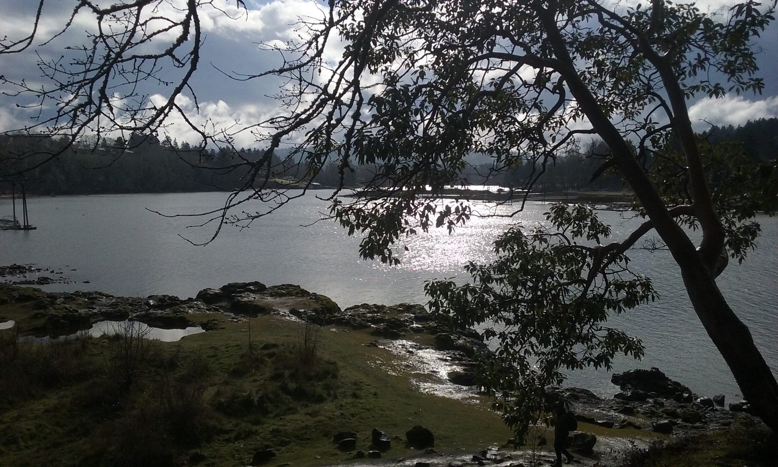
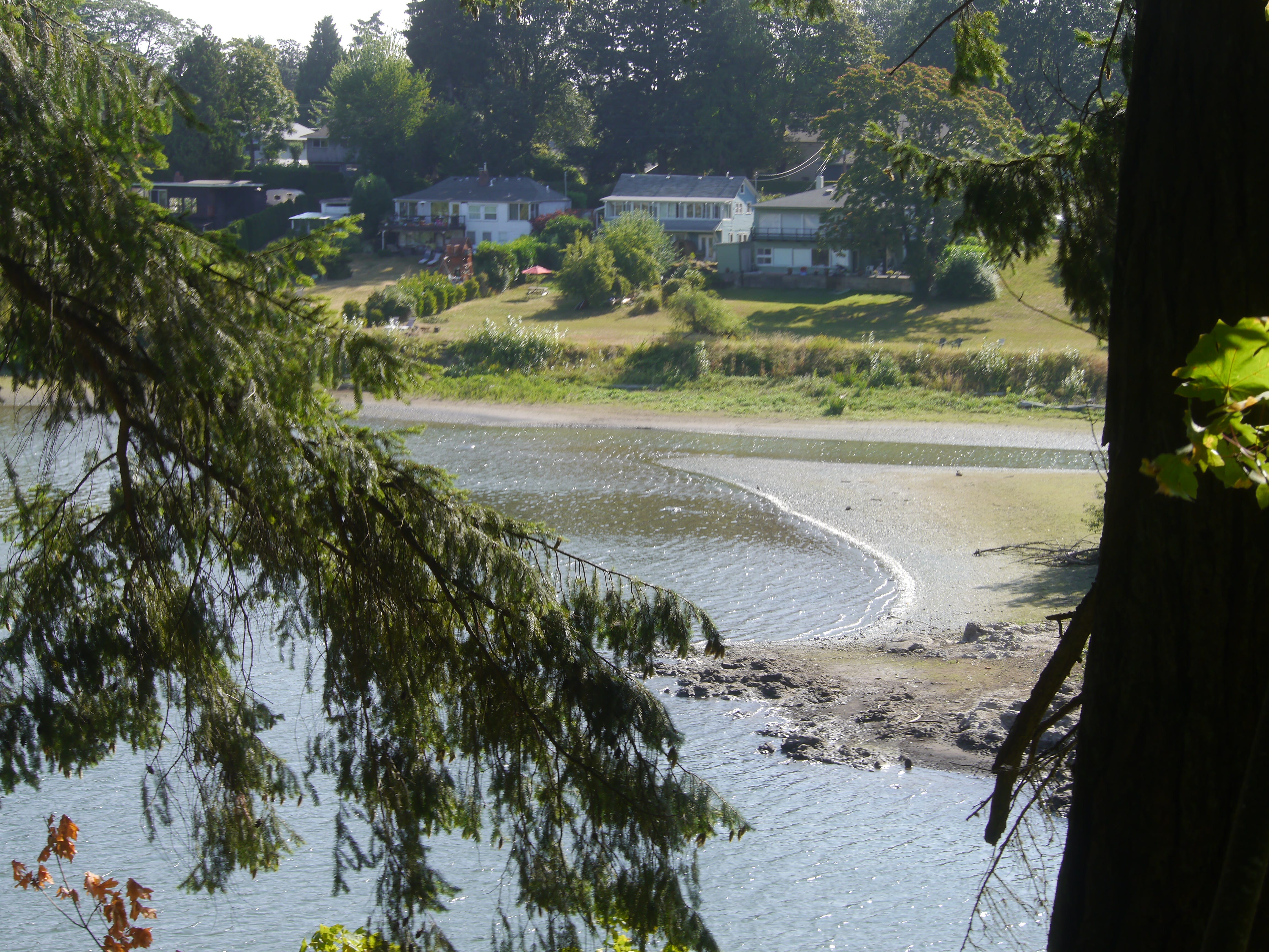
Looking west across the east side lagoon in winter.
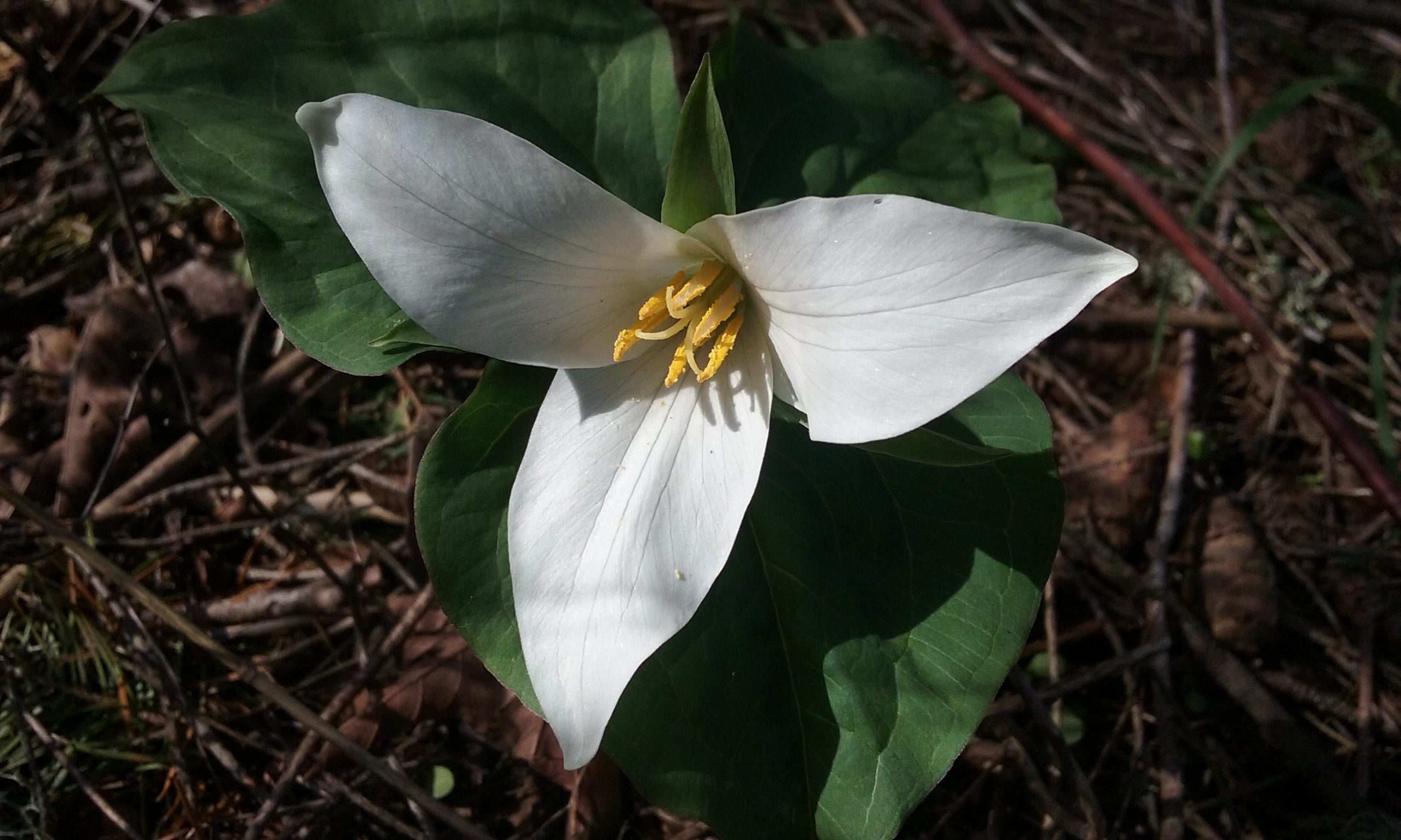
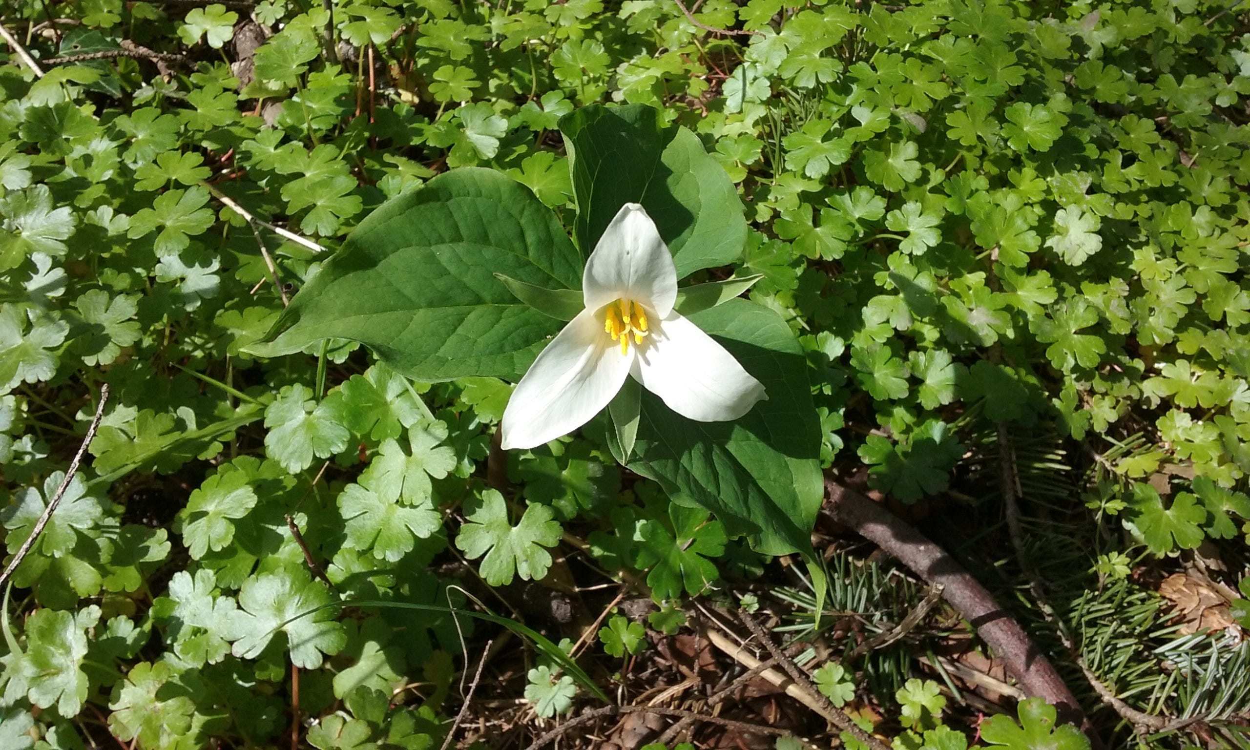
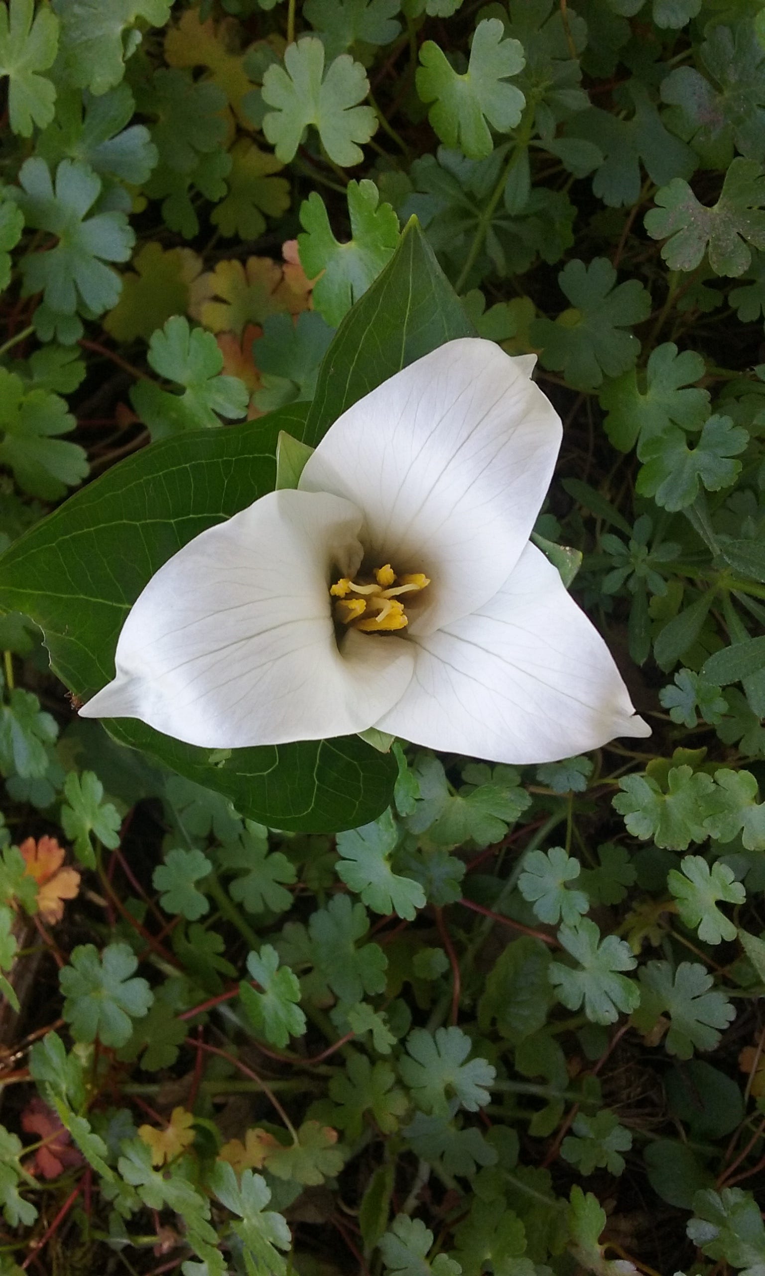
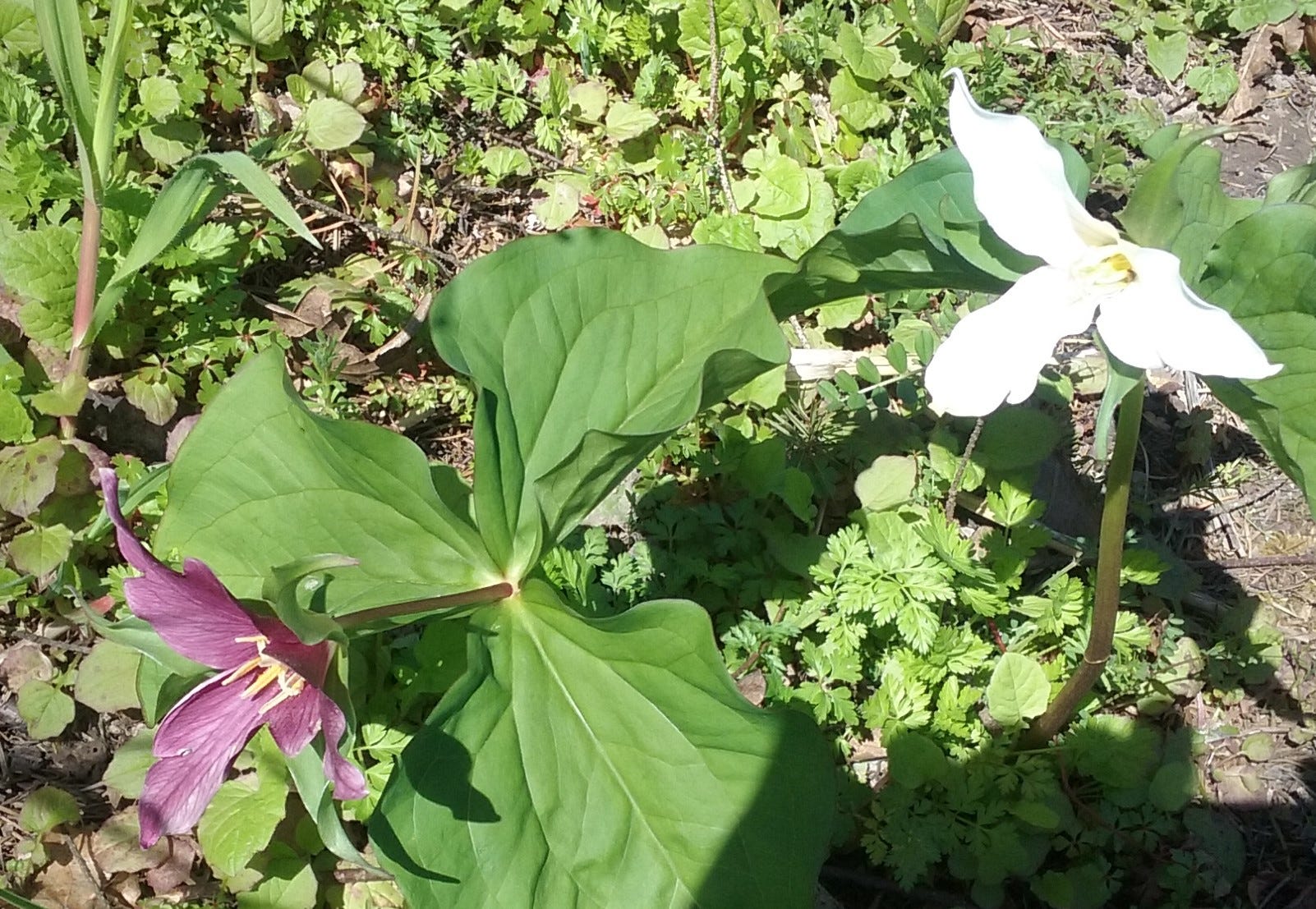
Triliums are found on the high trail for a few weeks in springtime.
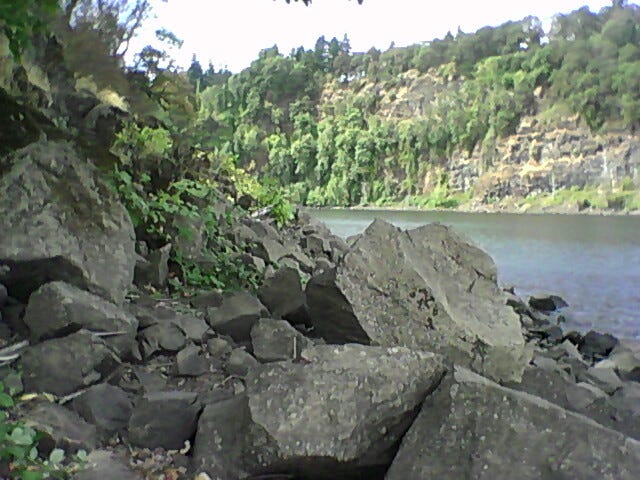
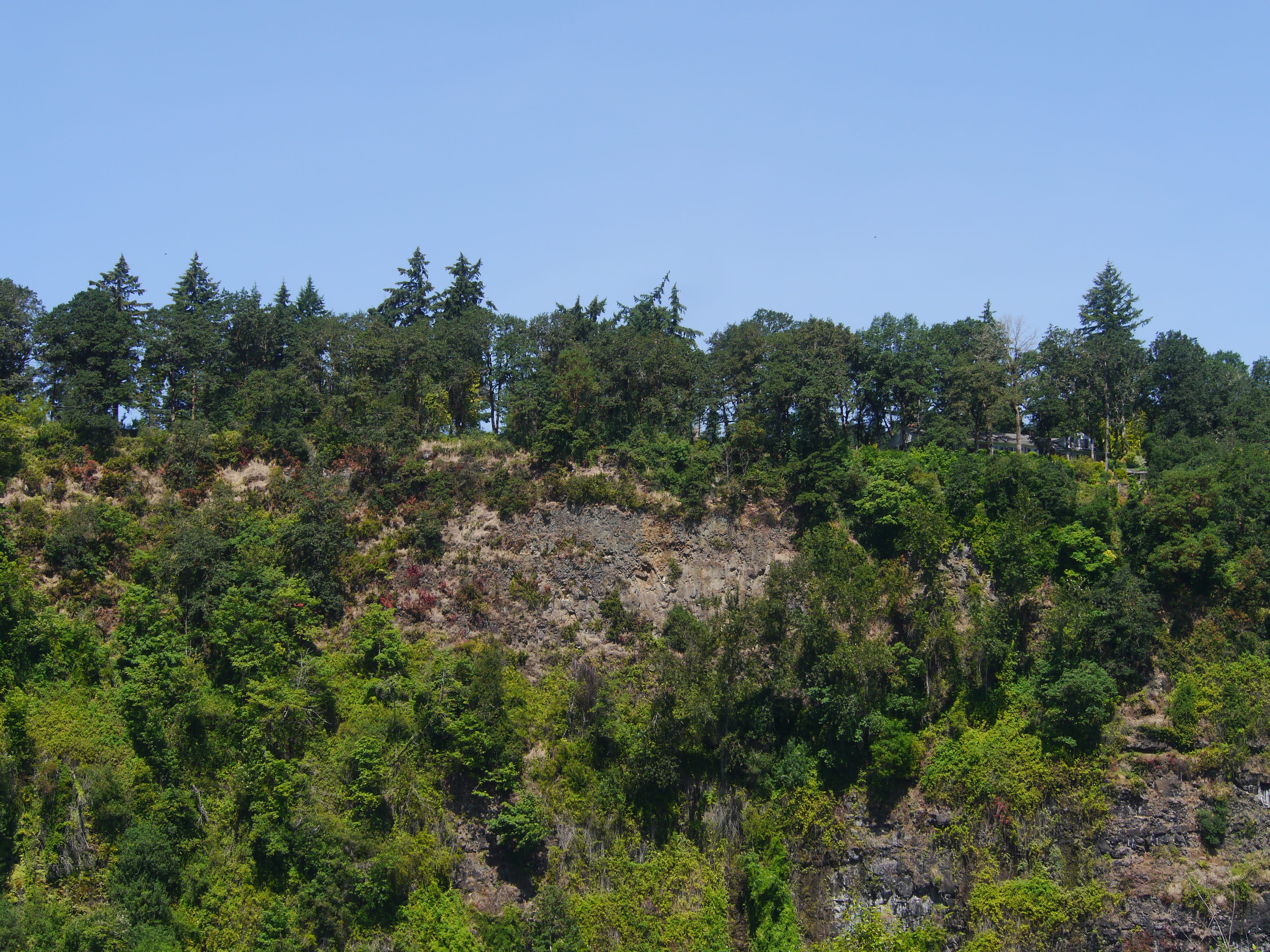
The rocky west side of ERI, looking southeast.
A little further south than the image above.
Trillium
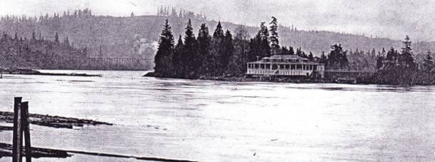
The concrete pier on the right was built on the west side of ERI in the early twentieth century to dock boats carrying dancers from Portland.
Looking south from Milwaukie at the dance hall which burned down in 1916.
Vernal rain ponds in spring, near the southwest corner of ERI.
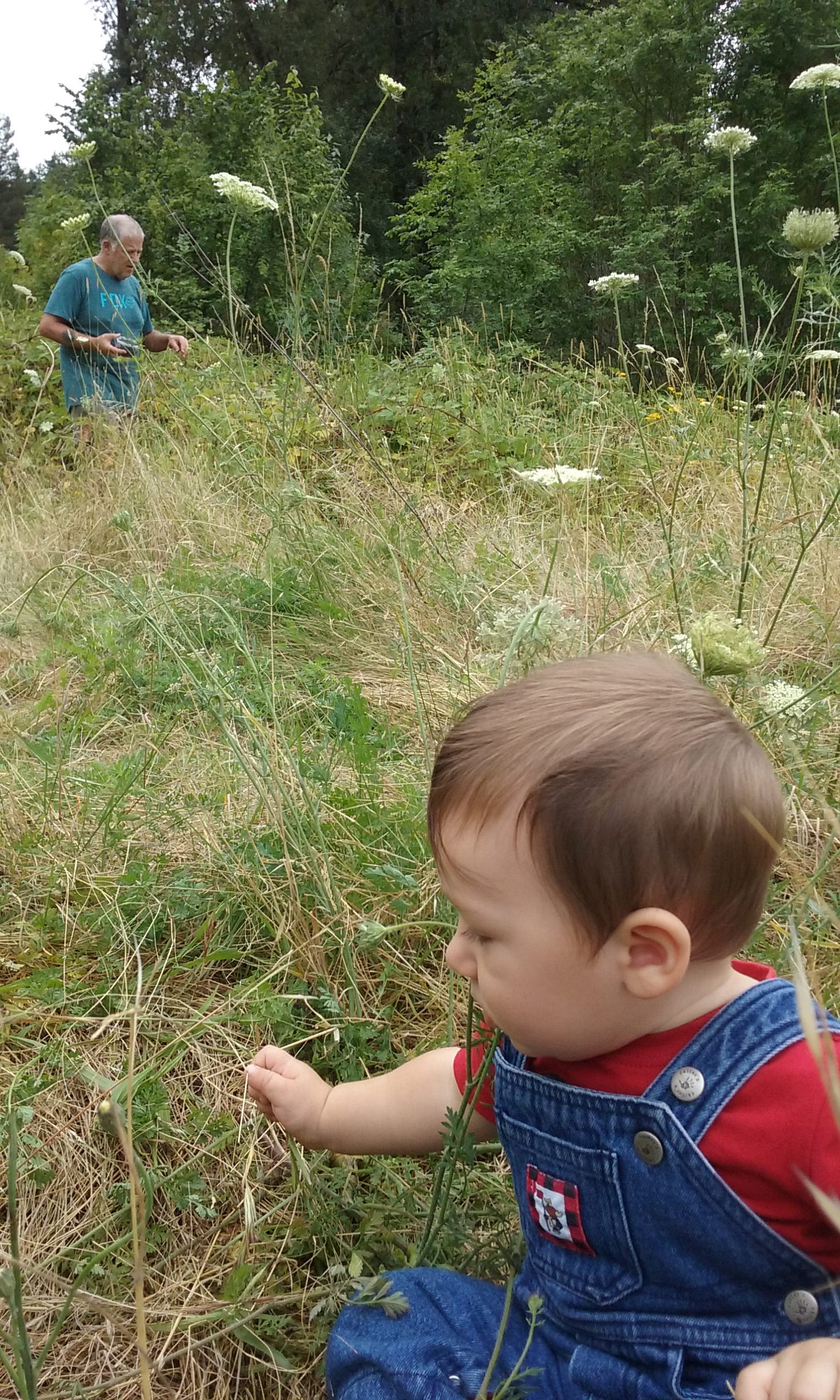
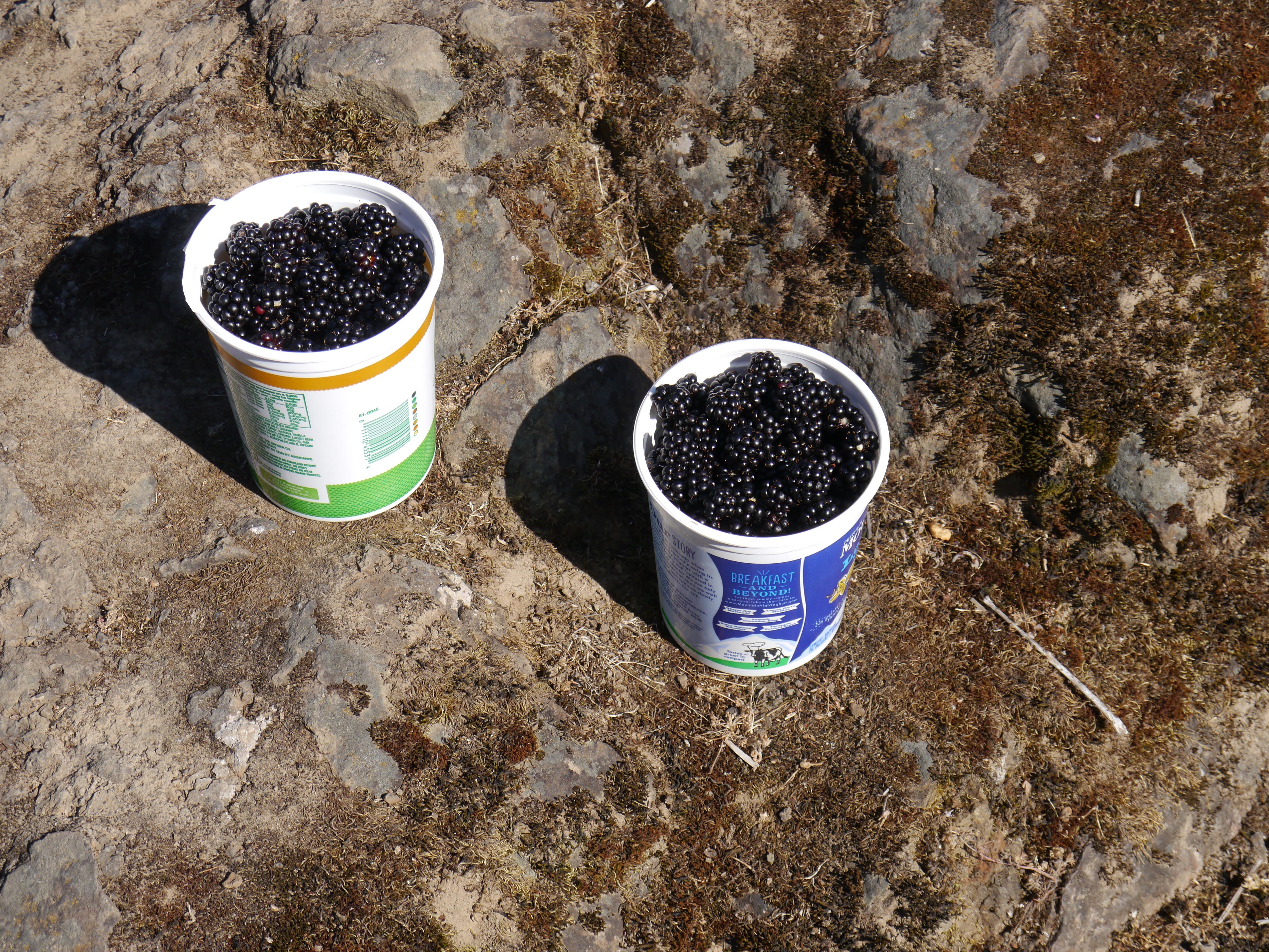
Gathering blackberries on the peninsula east of ERI.
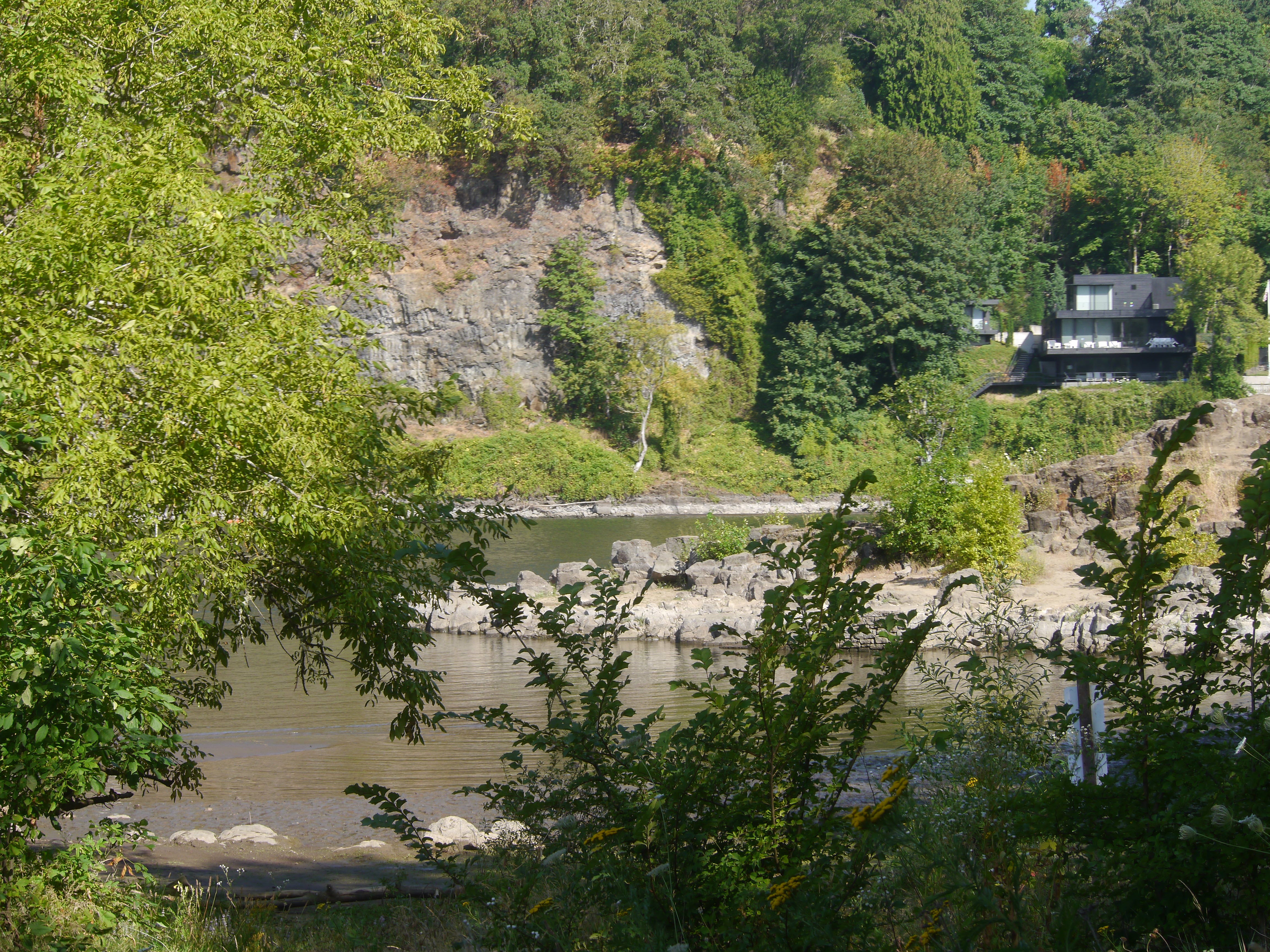
Looking east at ERI from Elk Rock Garden on west side of the river
From Elk Rock Garden on the west side of the river
From Elk Rock Garden on the west side of the river
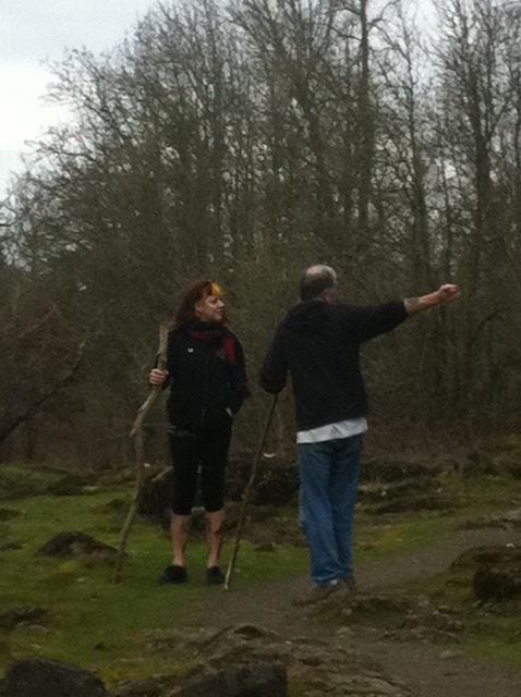
Looking south from the high trail.
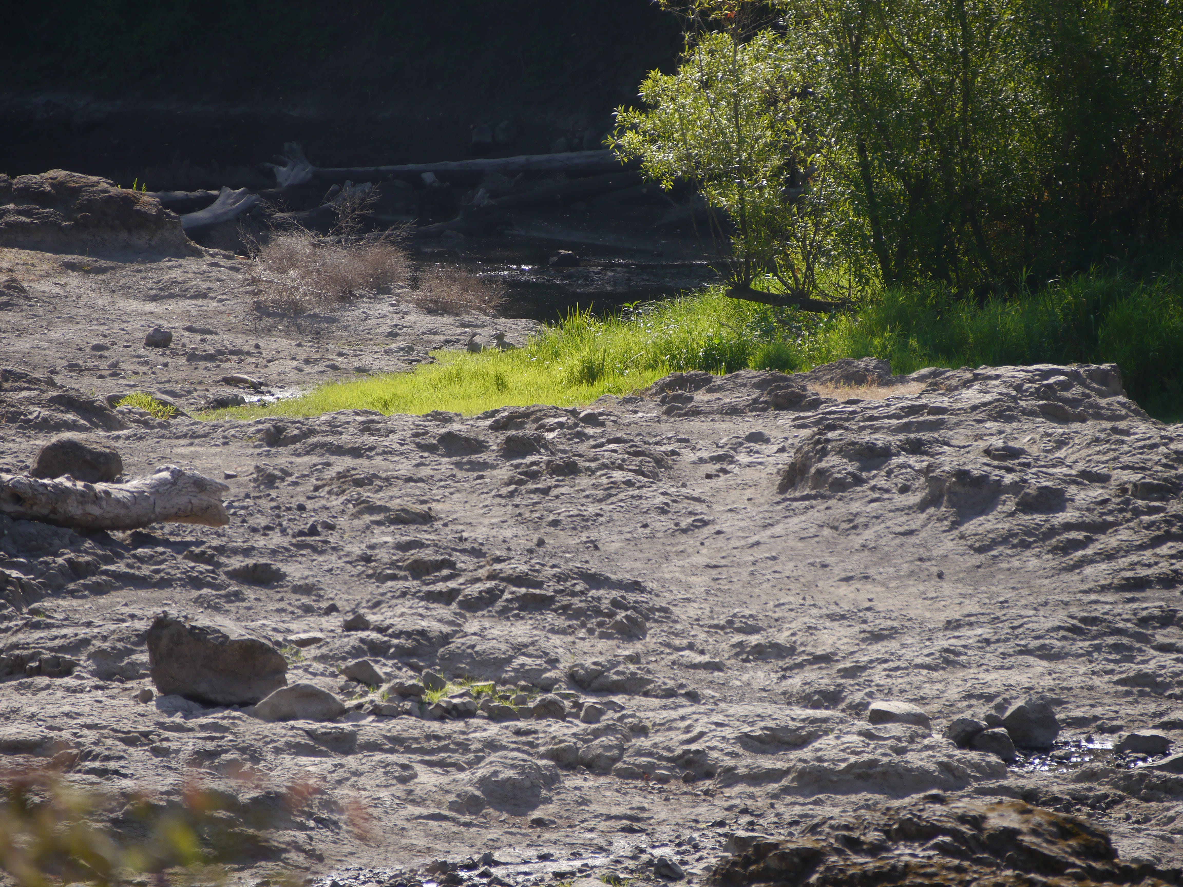
The east side of ERI.
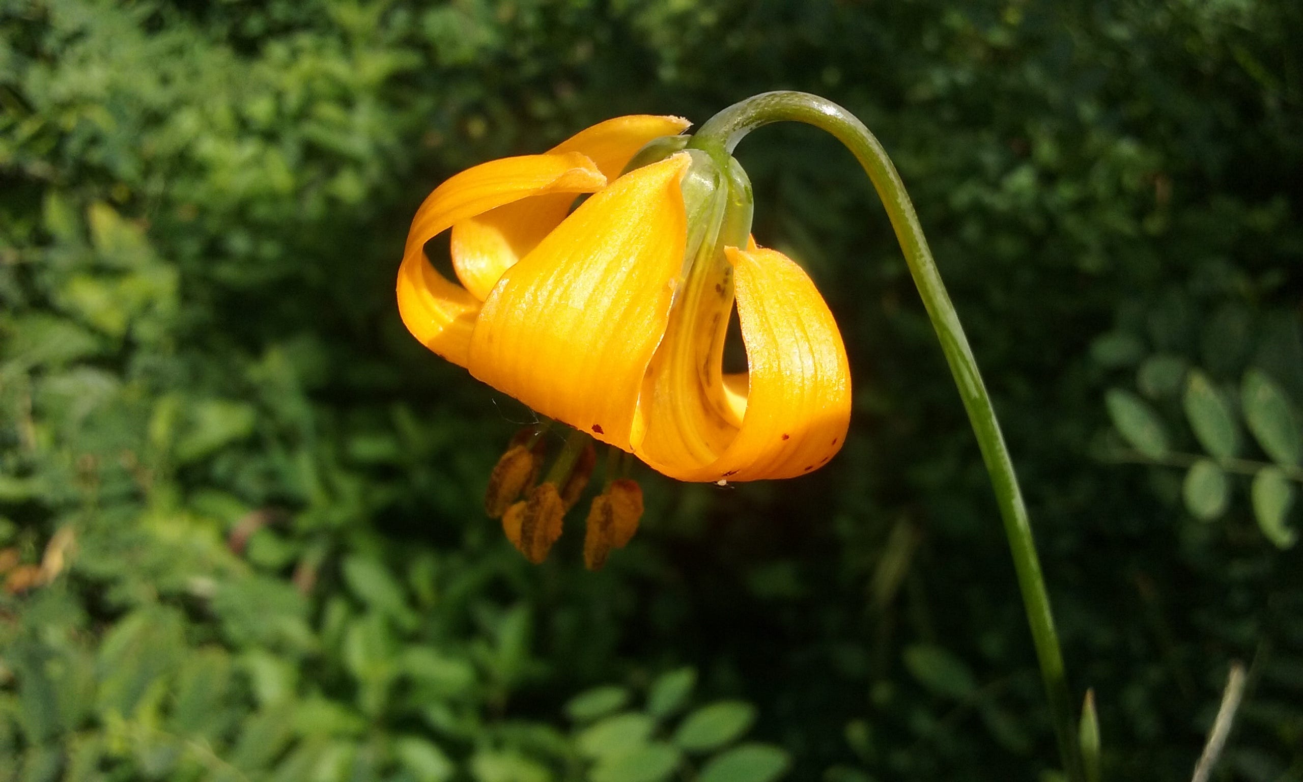
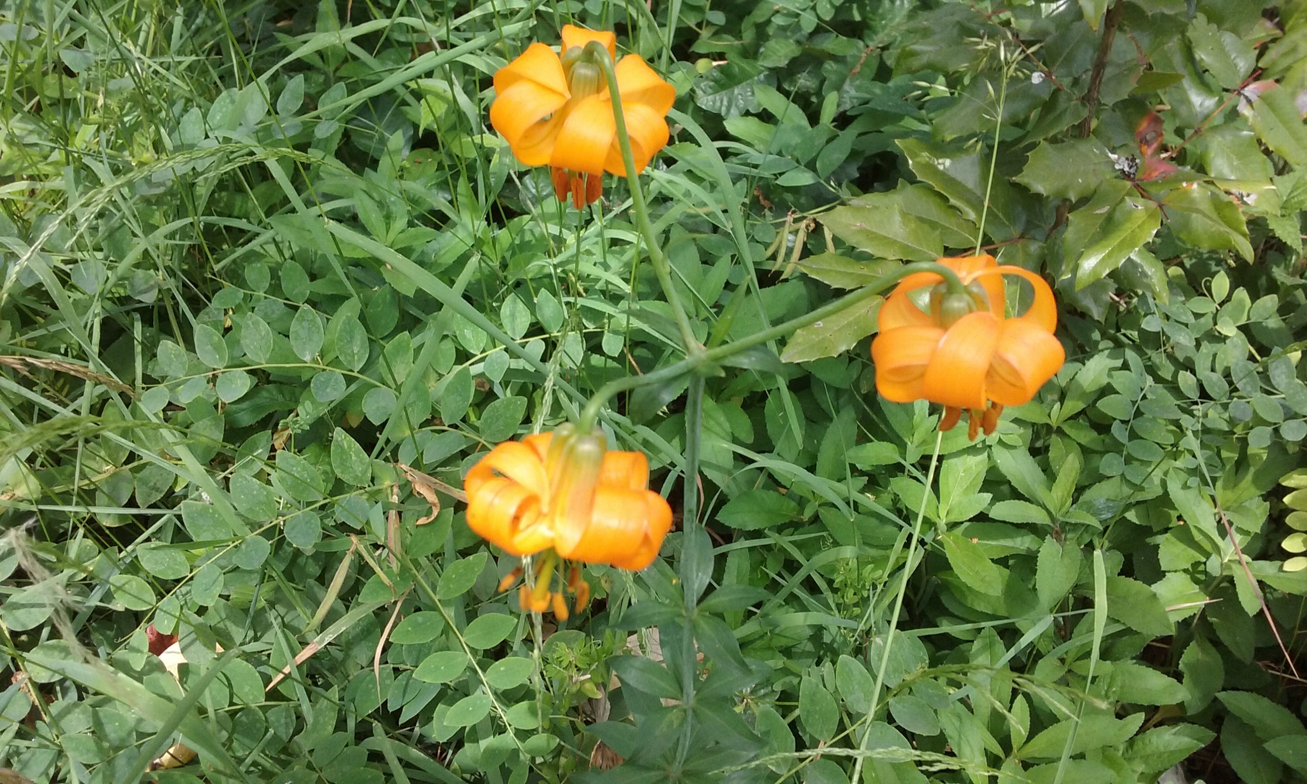
Columbia Lily
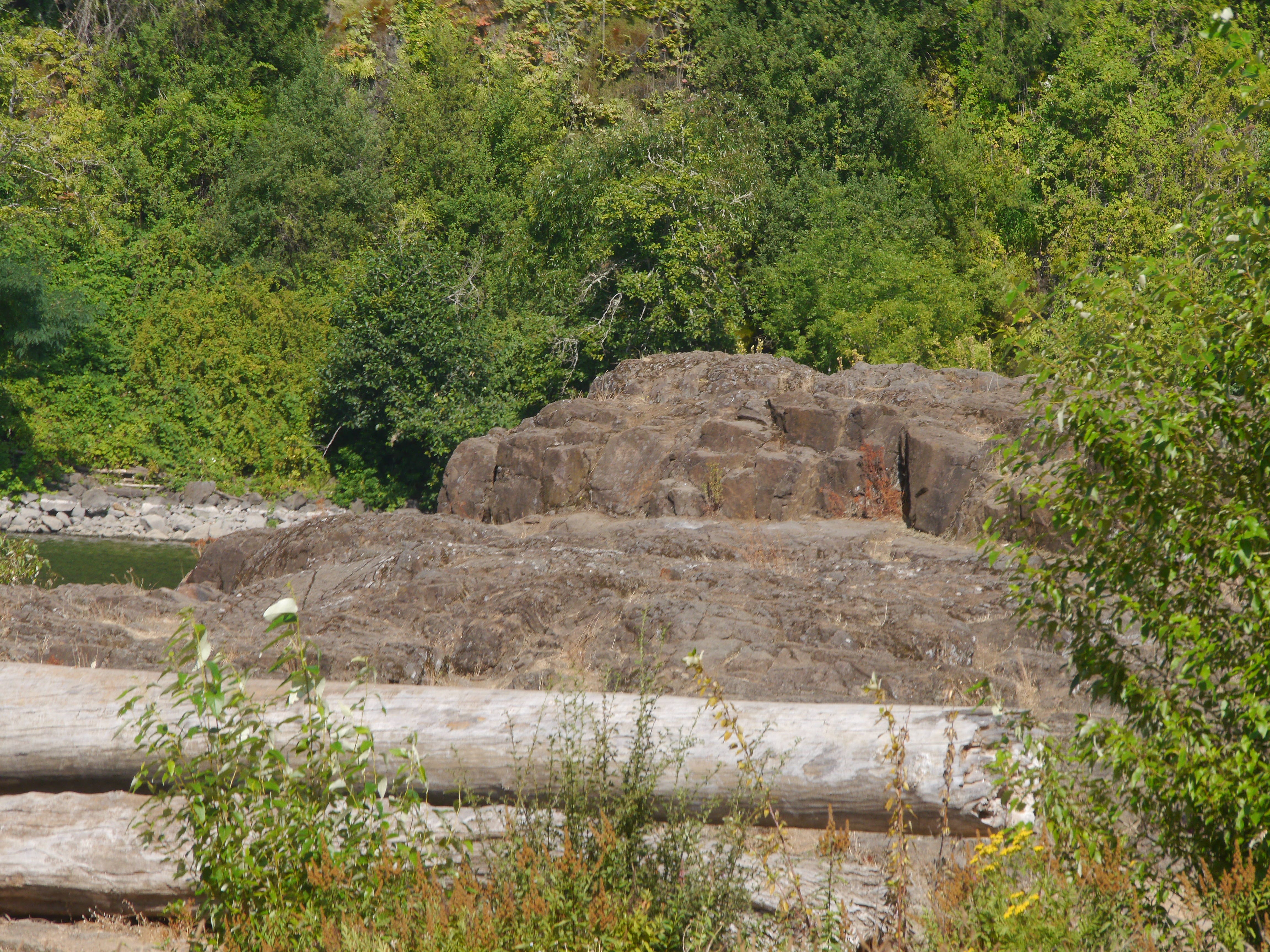
The east side of ERI.
Trillium
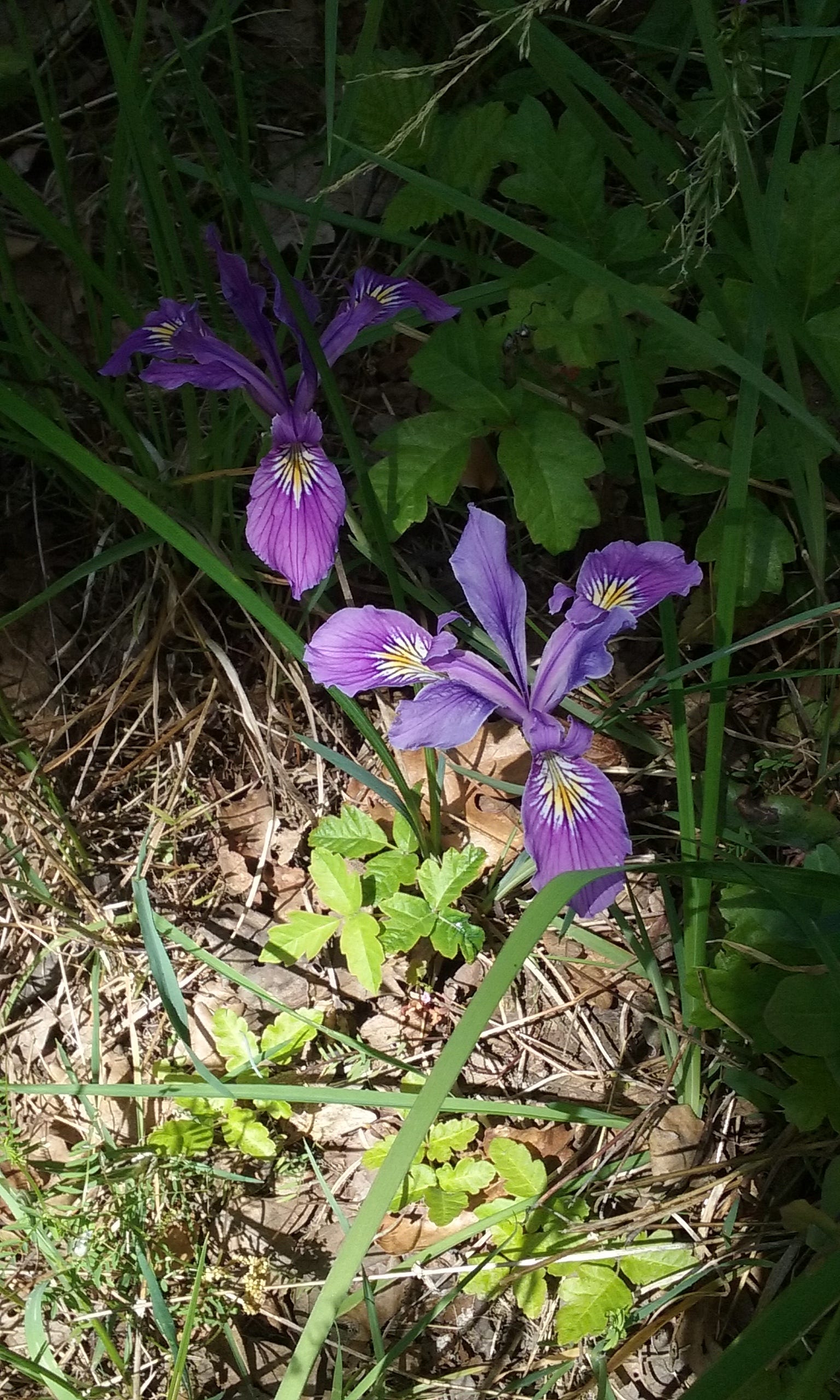
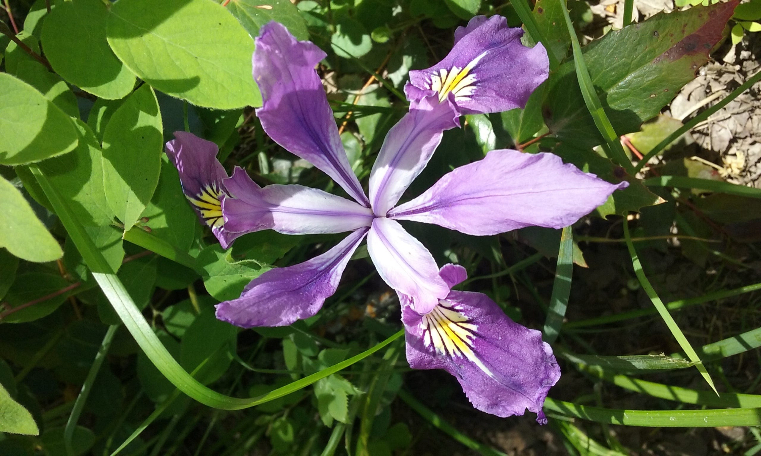
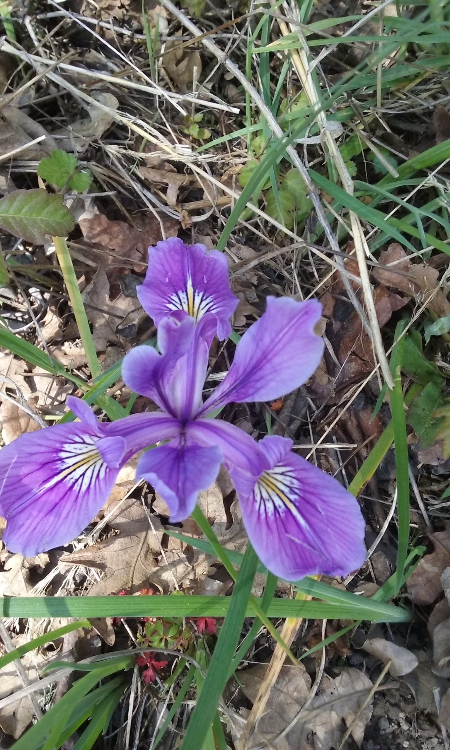
Douglas Iris
Douglas Iris
Douglas Iris
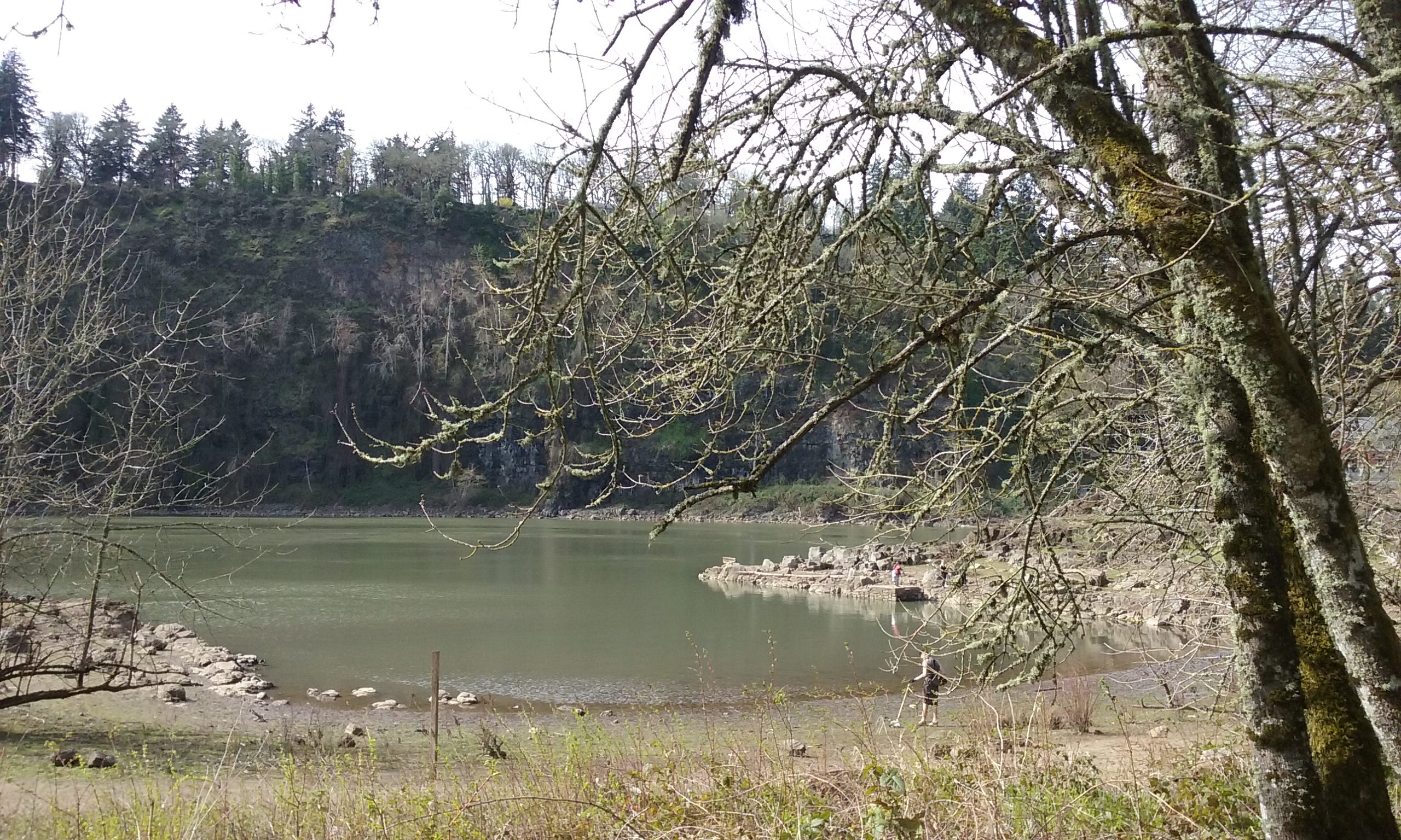
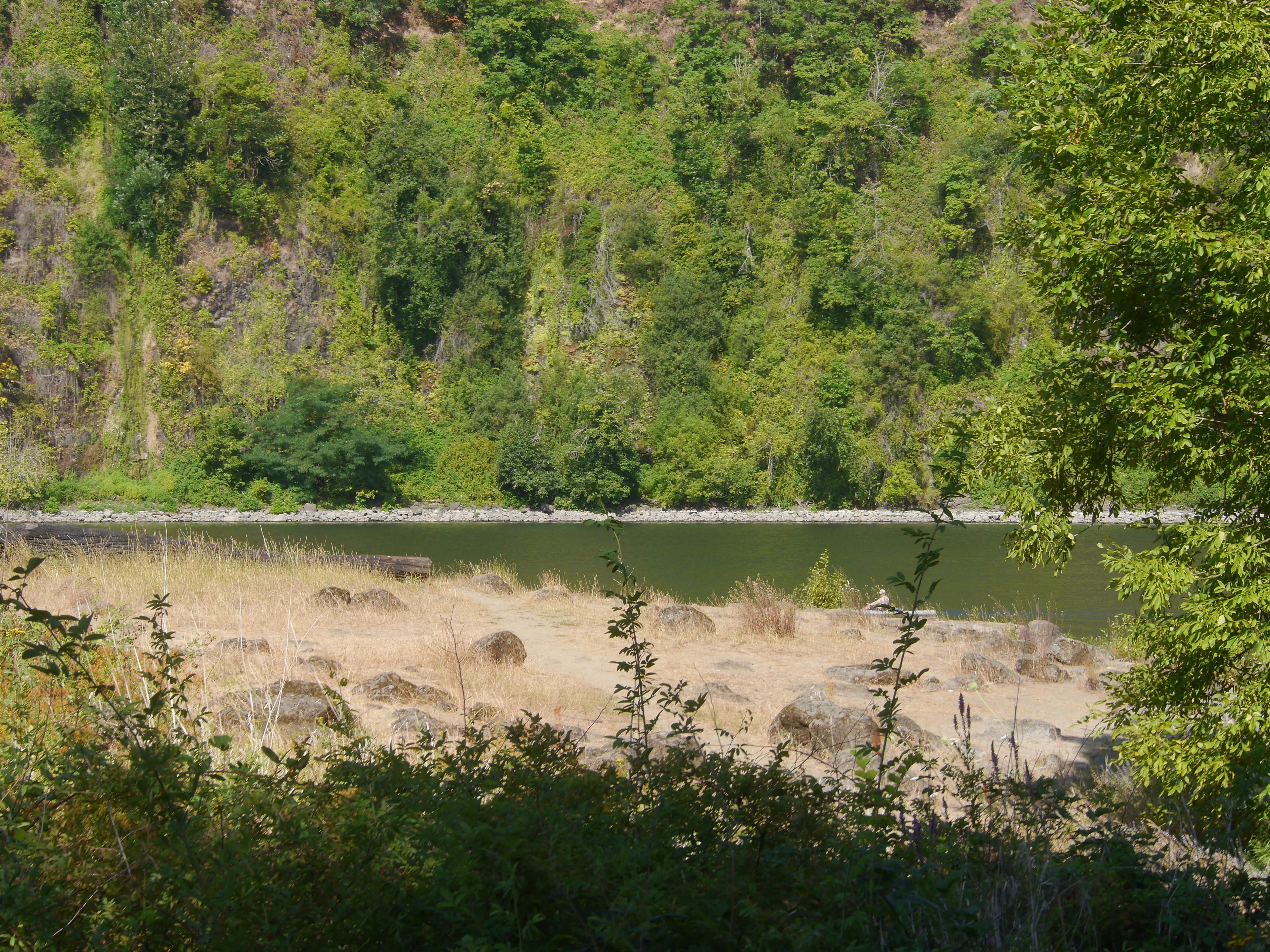
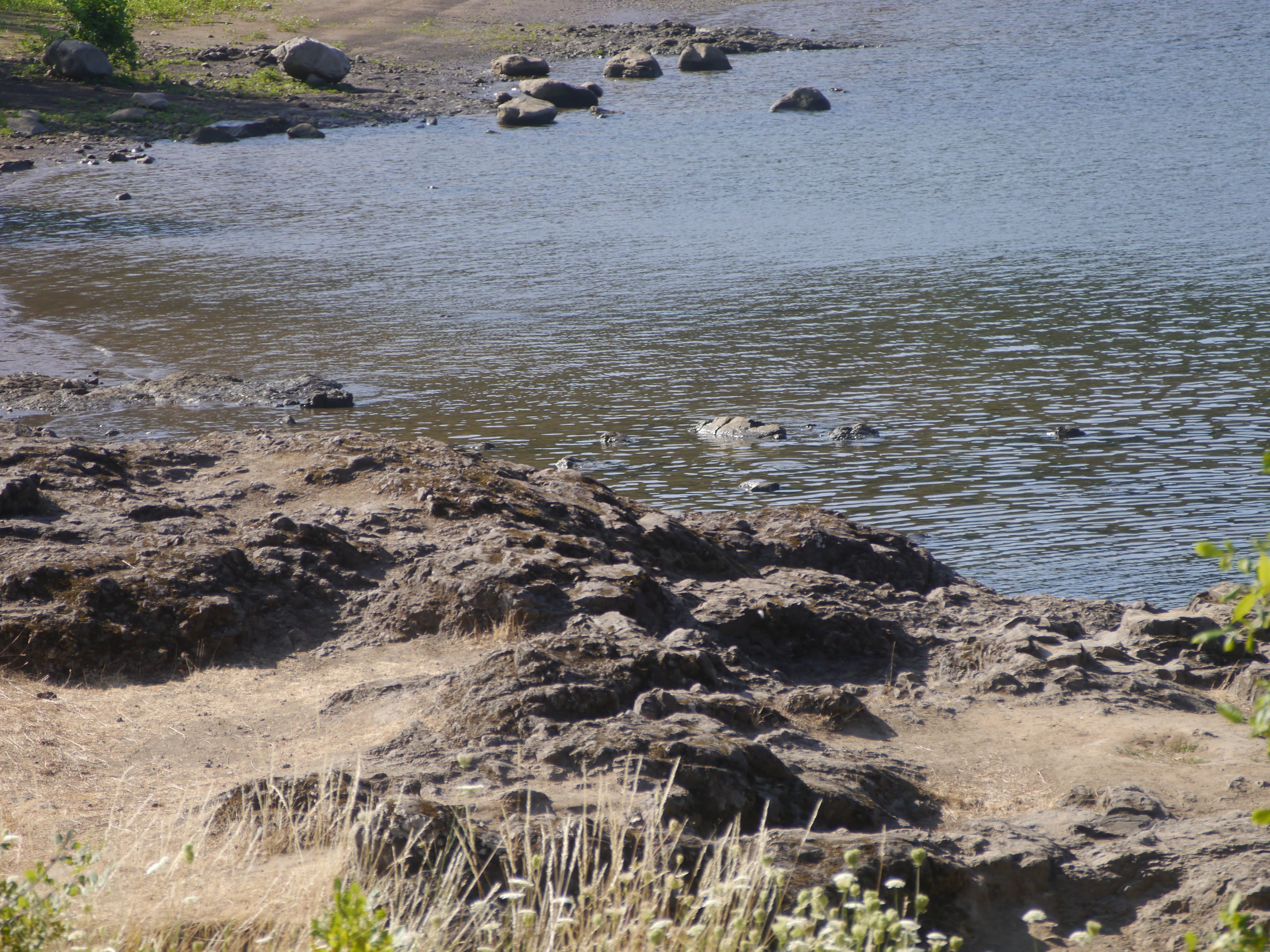
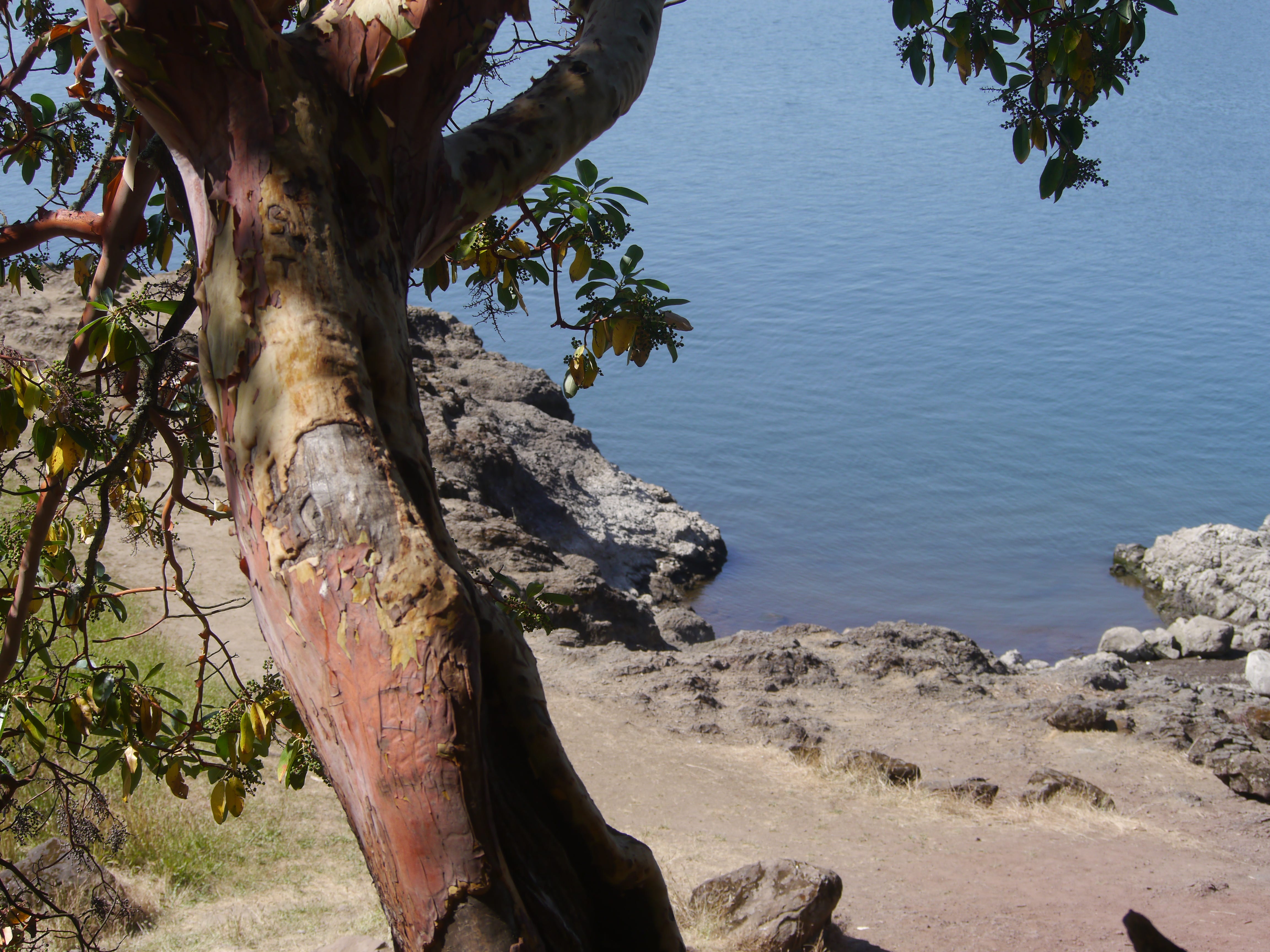
The rocky northwest corner of ERI is a popular fishing spot.
Looking east from the high trail.
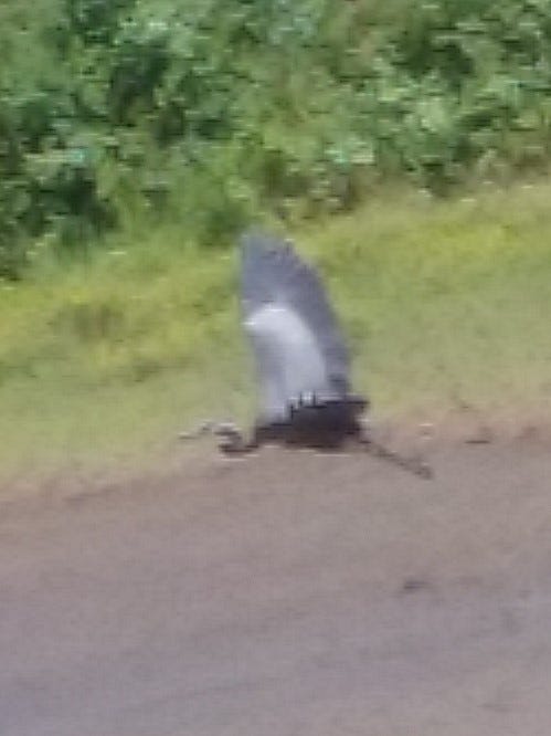
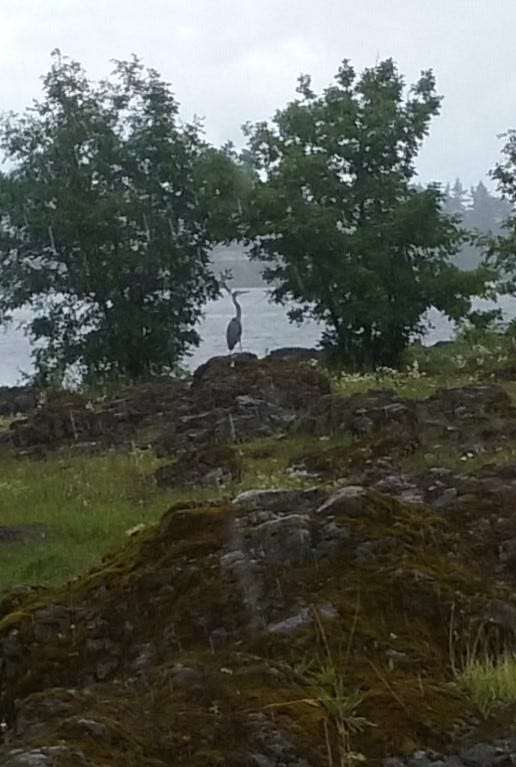
Great Blue Heron
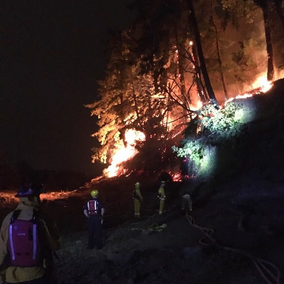
Fire on the southeast, 9/9/20.
r
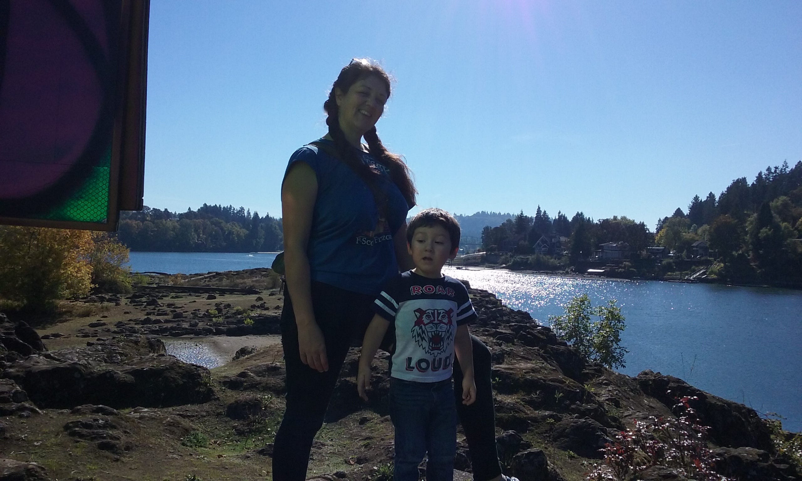
Ava and I on my last walk on ERI before ataxia (2012)
Fox
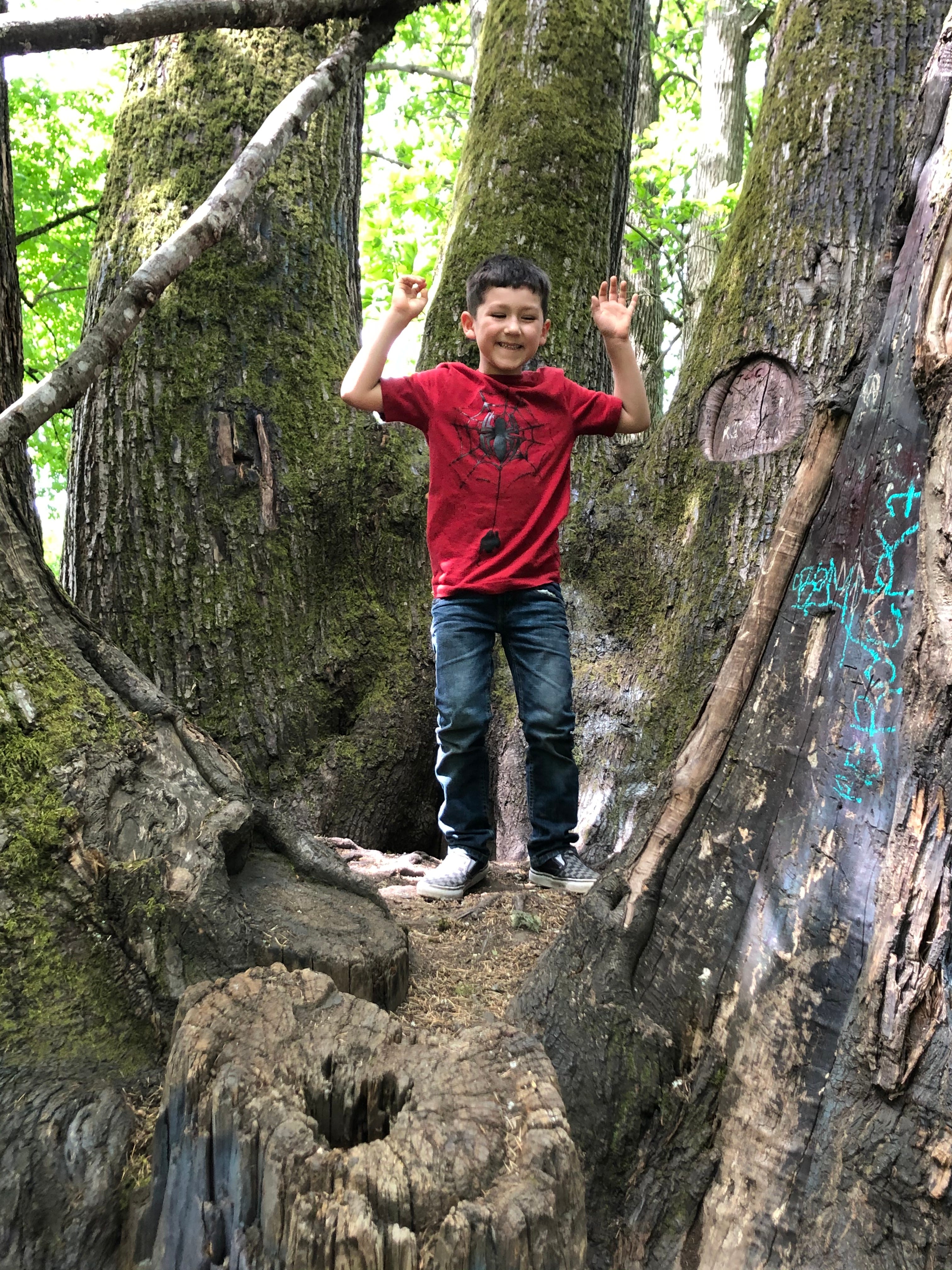
Fox in his favorite tree,
with Mara
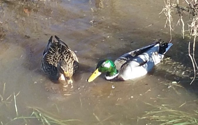
Mallard couple
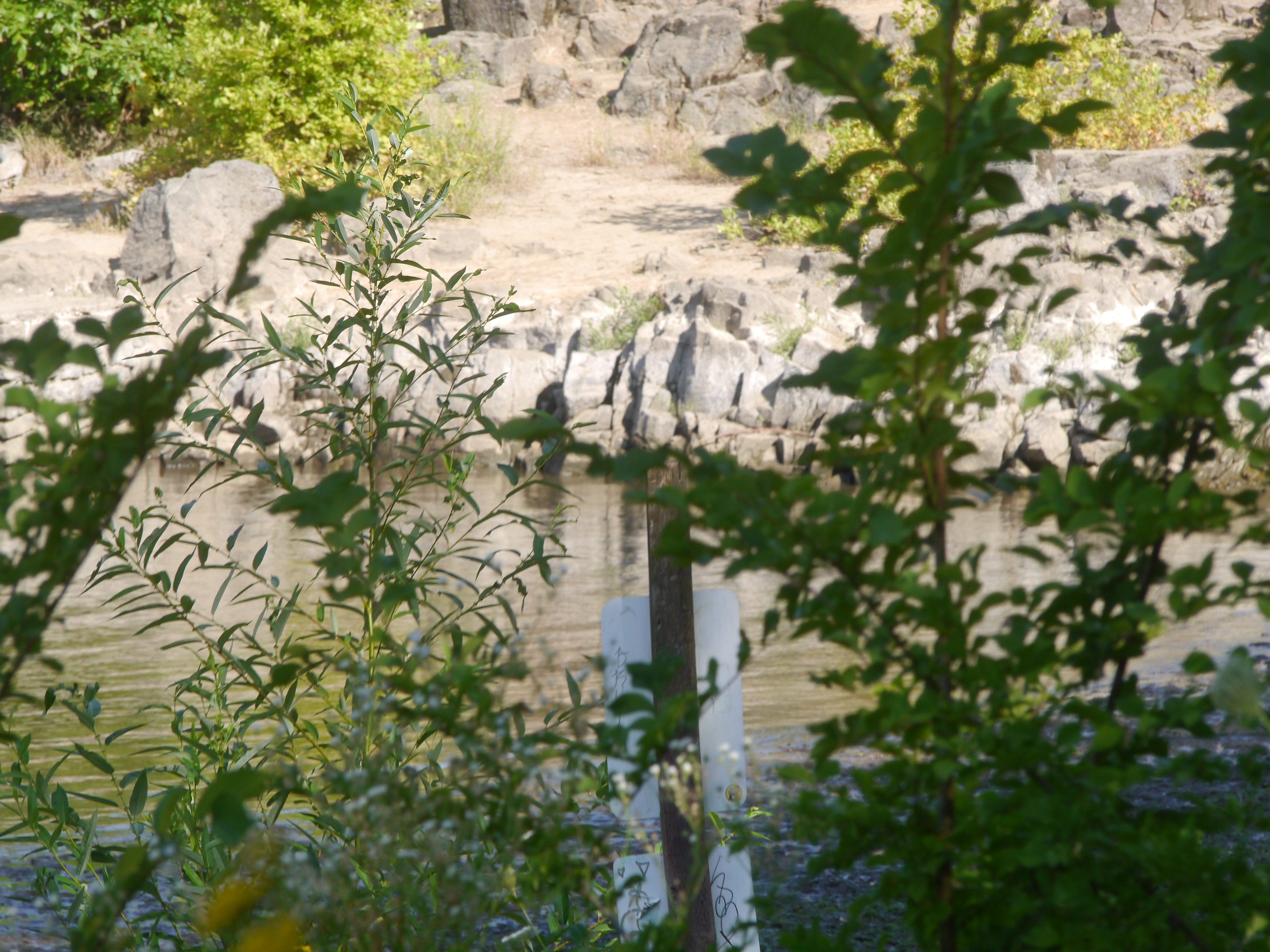
The spawn on the west side high point with nautical marker.
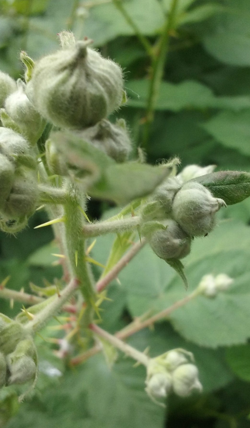
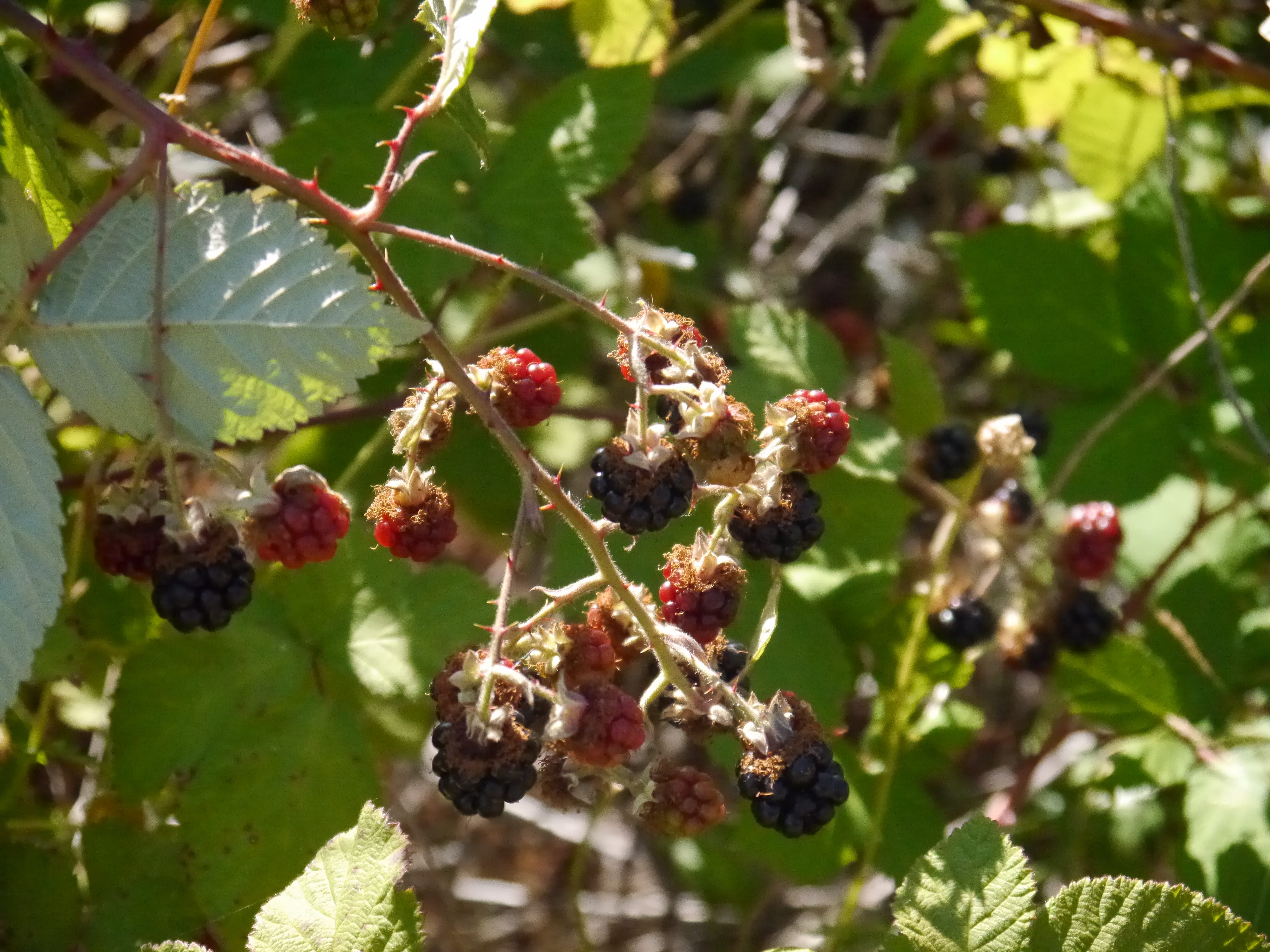
blackberries ripening
Snow falling on the south side of ERI
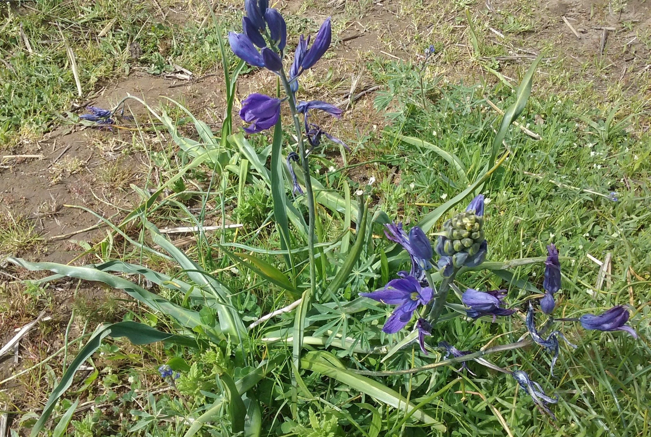
Camas roots were a staple of local tribes.
Great Blue Heron on the peninsula to the east of ERI.
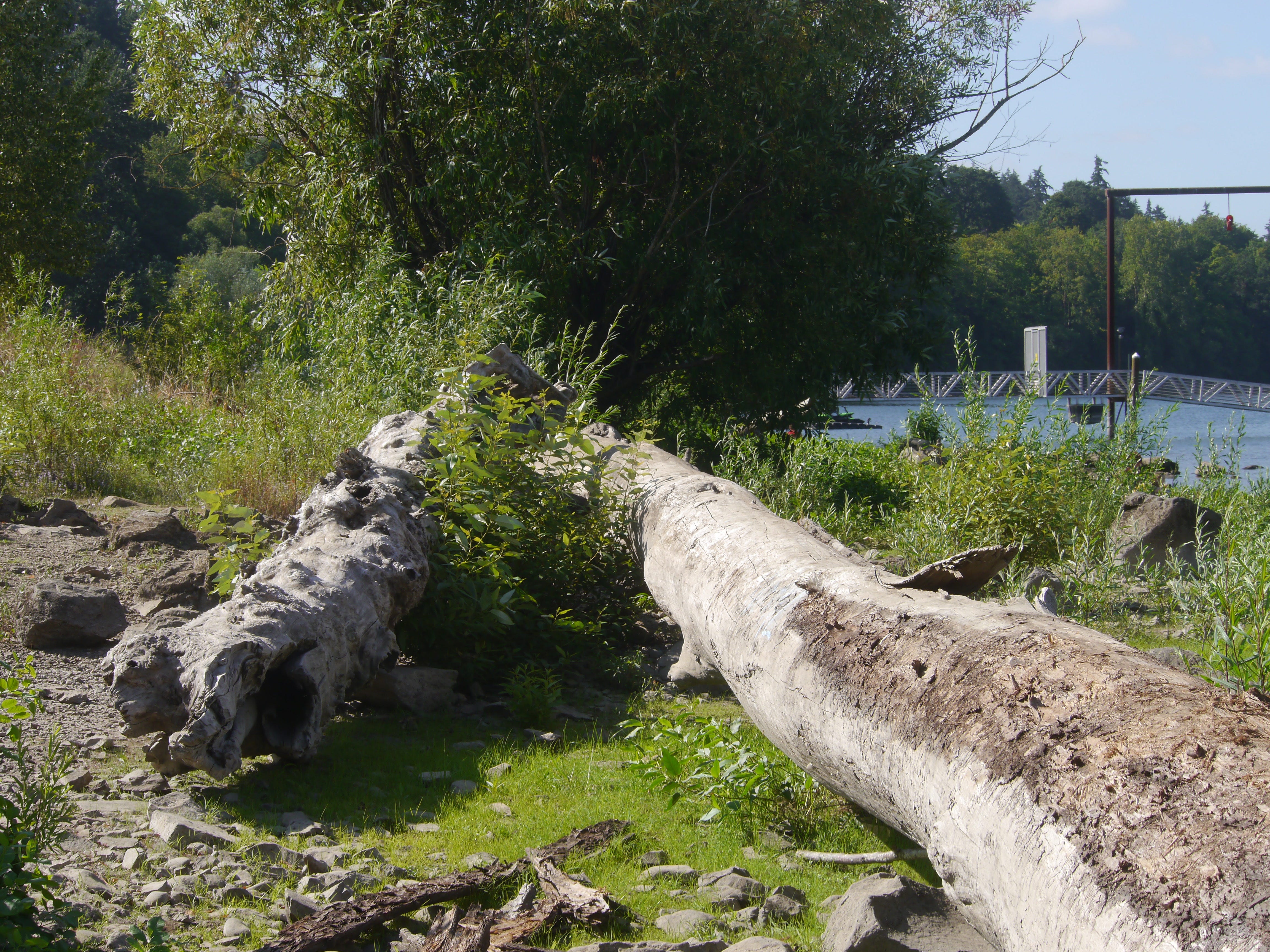
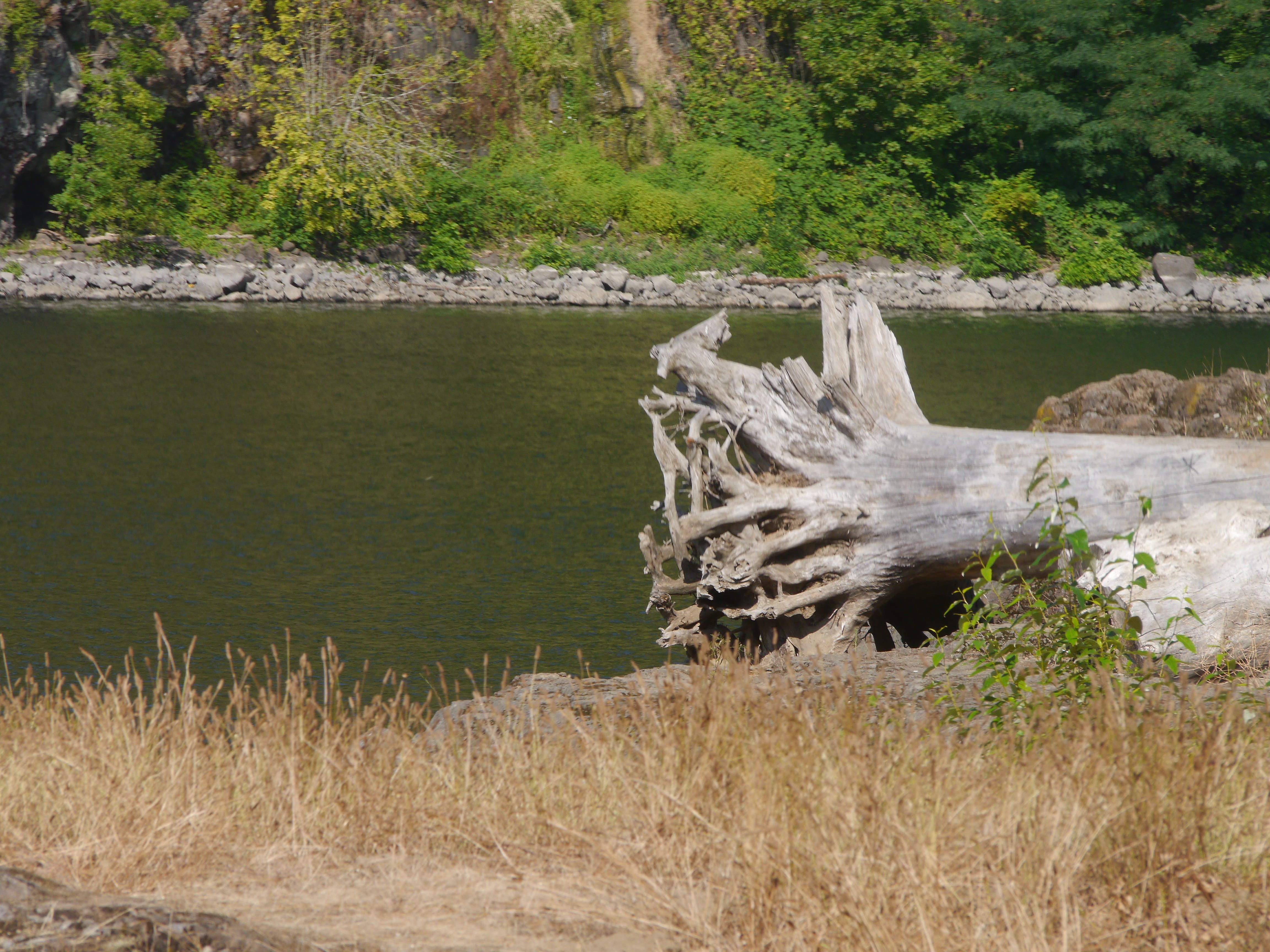
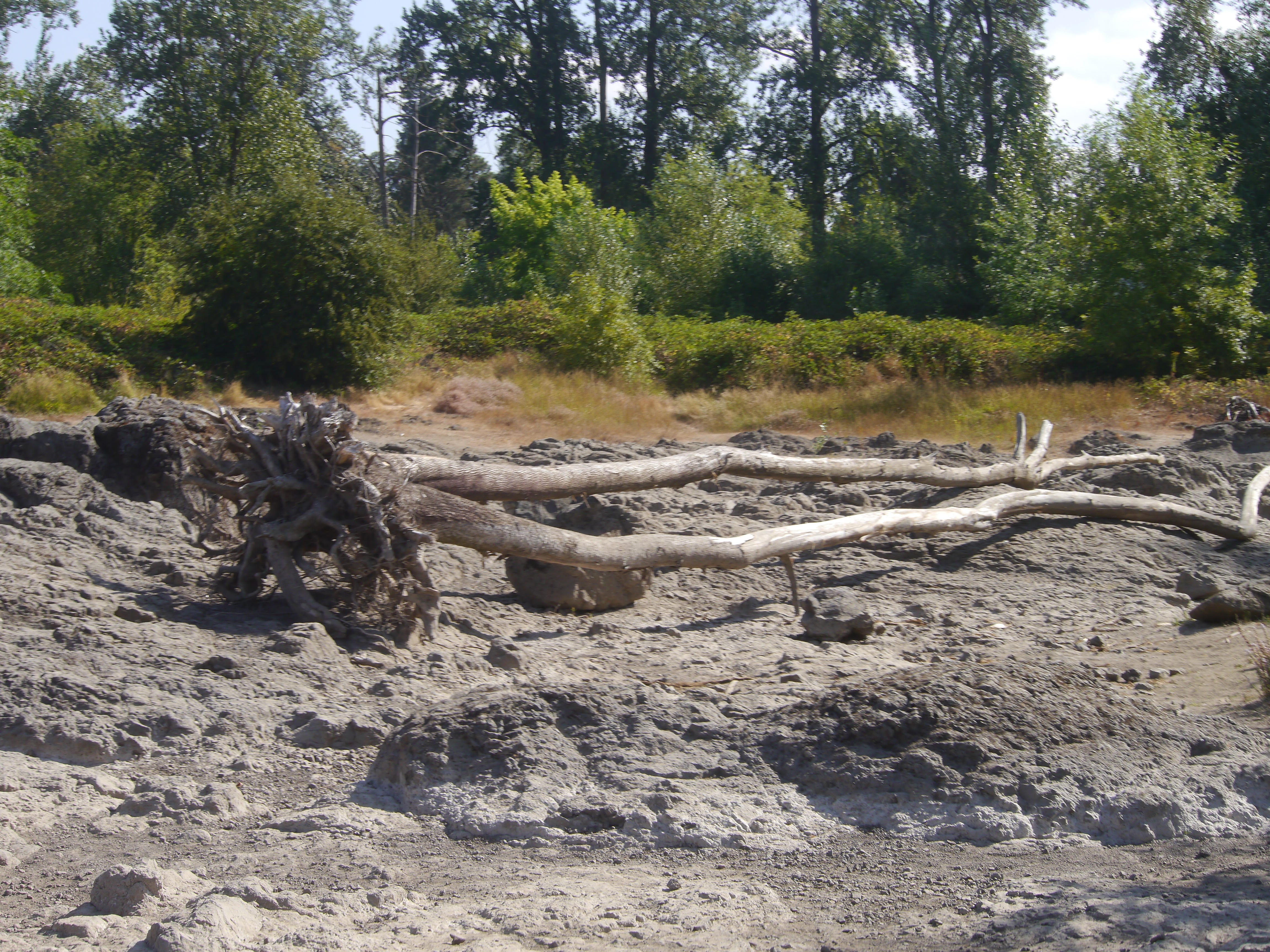
These huge trees get washed up with high water in winter/spring.
Looking east from the southern tip.
Looking west at the southern tip.
Looking south from the southwest area.
Looking east from the southwest area.
Looking west from the southwest area.
Facing the eastern peninsula from the high trail.
Looking west.
Looking west.
Columbia Lilies
Looking south from the north side of ERI.
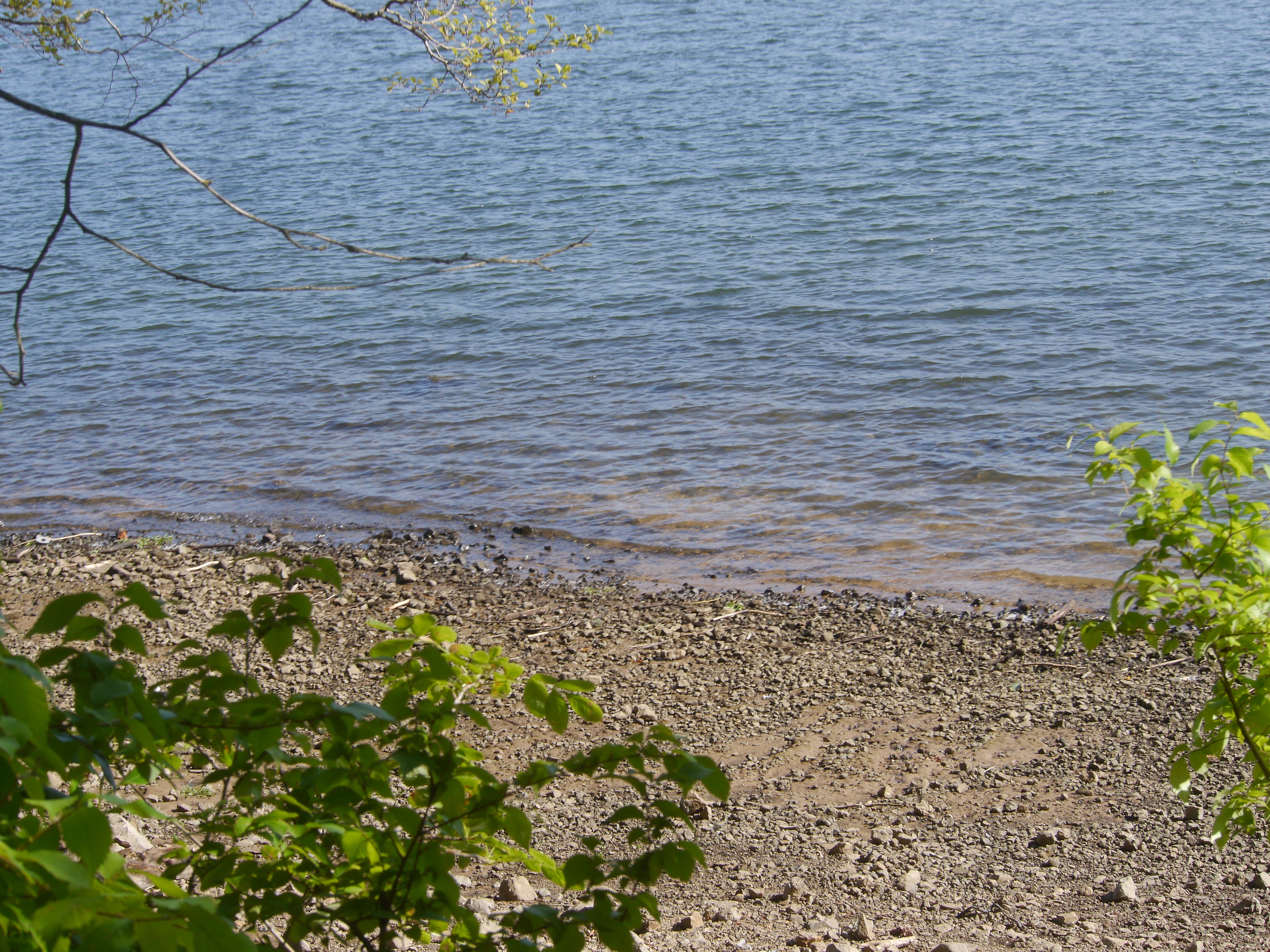
The rocky beach on the north side of ERI, near where the dance hall once was.
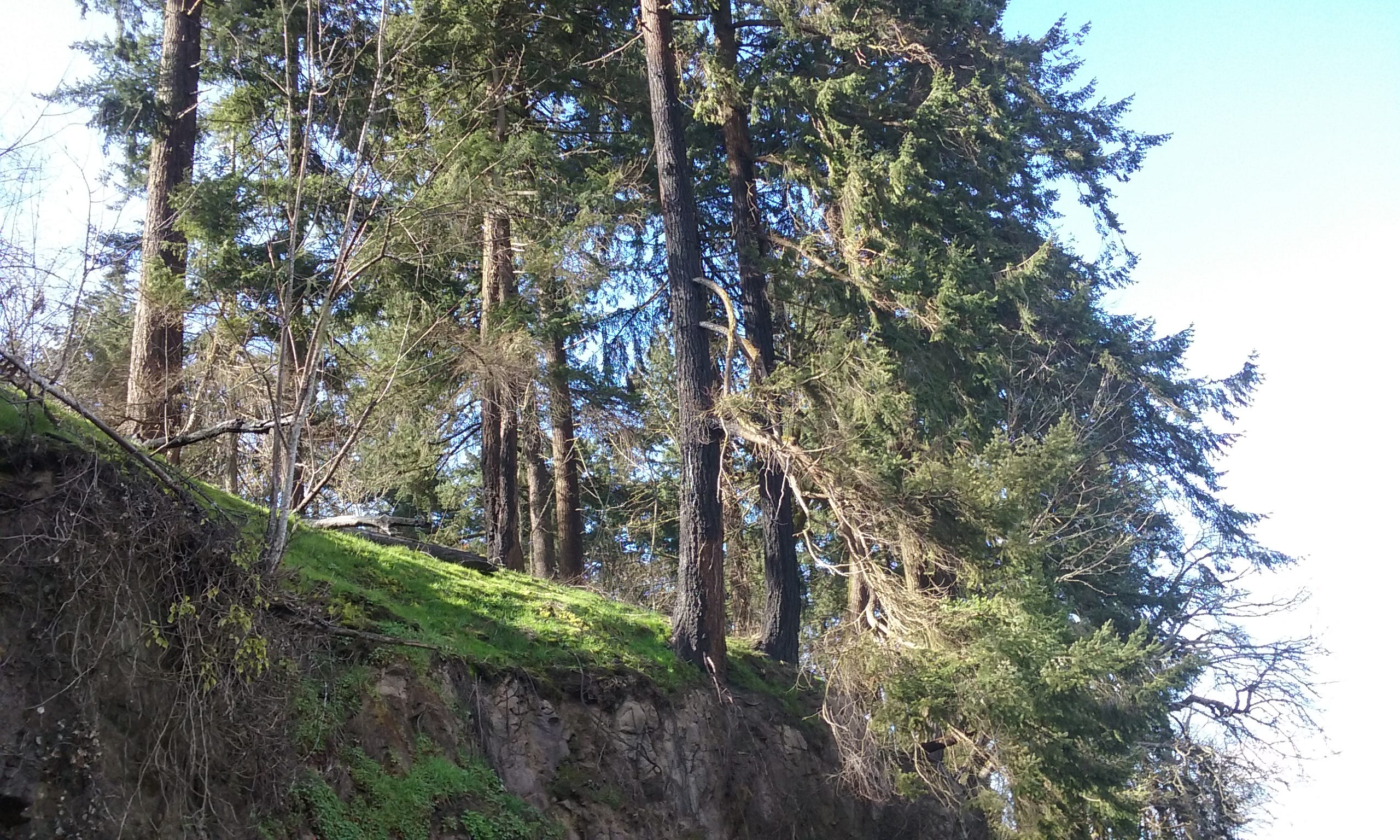
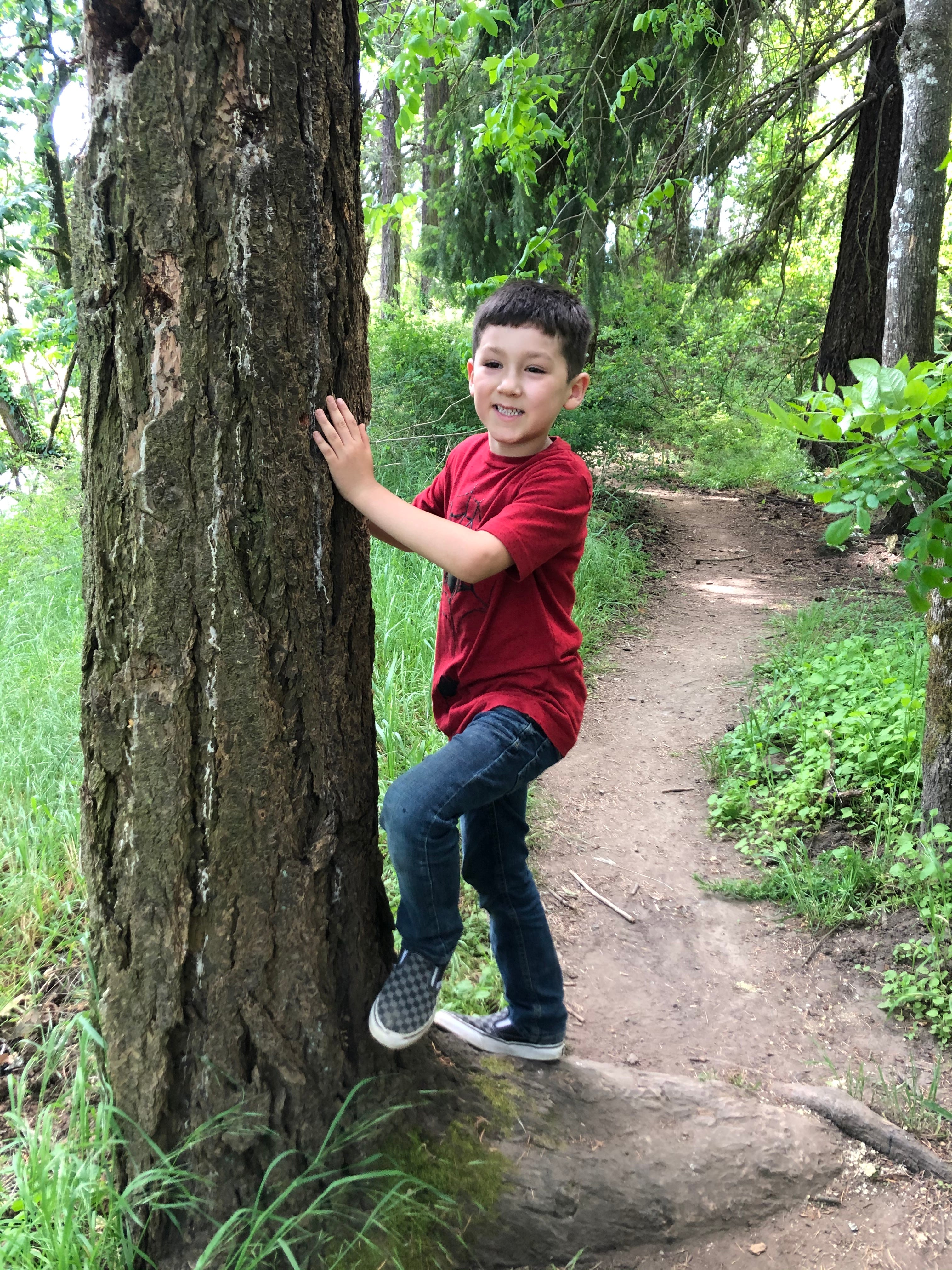
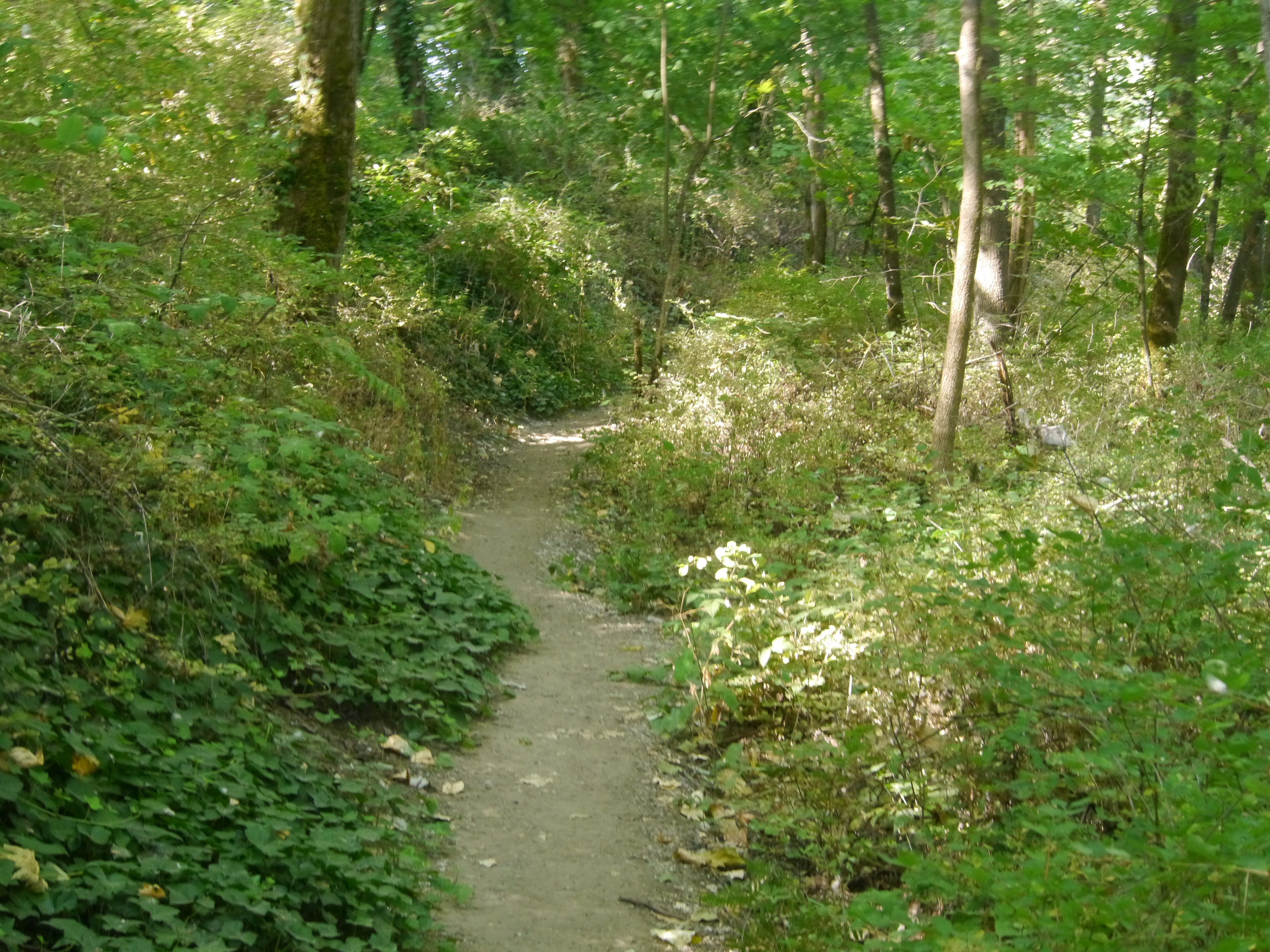
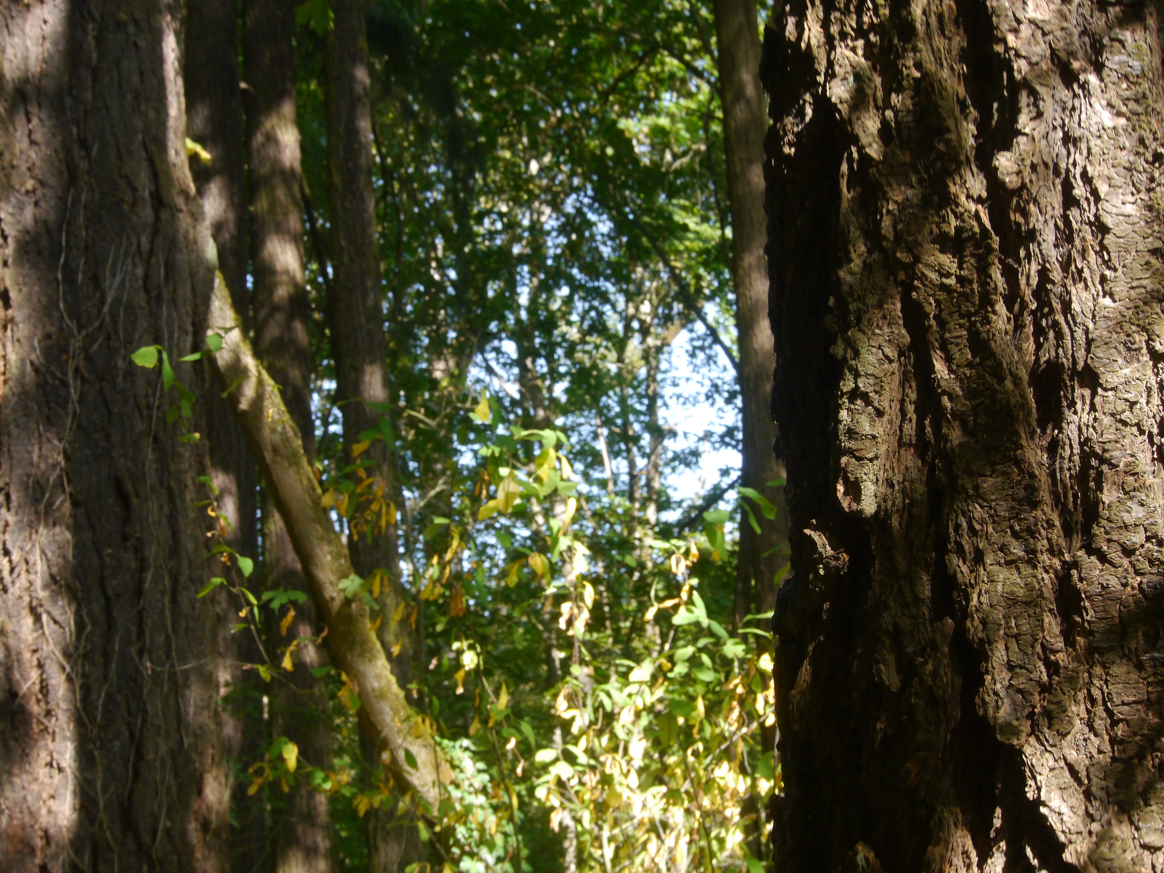
Trees on the high trail.
Looking east near the north end of ERI.
Looking west from the southwest area.
Looking west on the north side of the eastern peninsula.


Beautiful montage!
That first baby shot looks like you! Love the gallery.